Cave fire: Firefighters counting on rain to save the day, extinguish flames in Santa Barbara

- Share via
SANTA BARBARA — Around this time of year, wildfires are often influenced by two forces: wind and rain.
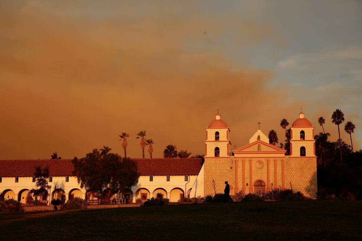
Santa Barbara on Monday night got heavy winds, fueling the dangerous Cave fire that threatened numerous homes north of the city.
But nature might also offer firefighters some relief, in the form of a storm moving in Tuesday night.
Flash flood watches are in effect across the state as a cold front bringing rains rolls in to areas left vulnerable by wildfire.
“What’s working in our favor is we’re getting rain tonight,” Santa Barbara County Fire Capt. Daniel Bertucelli said. “It’s definitely going to affect our fire behavior. ... It’s going to diminish the fire.”
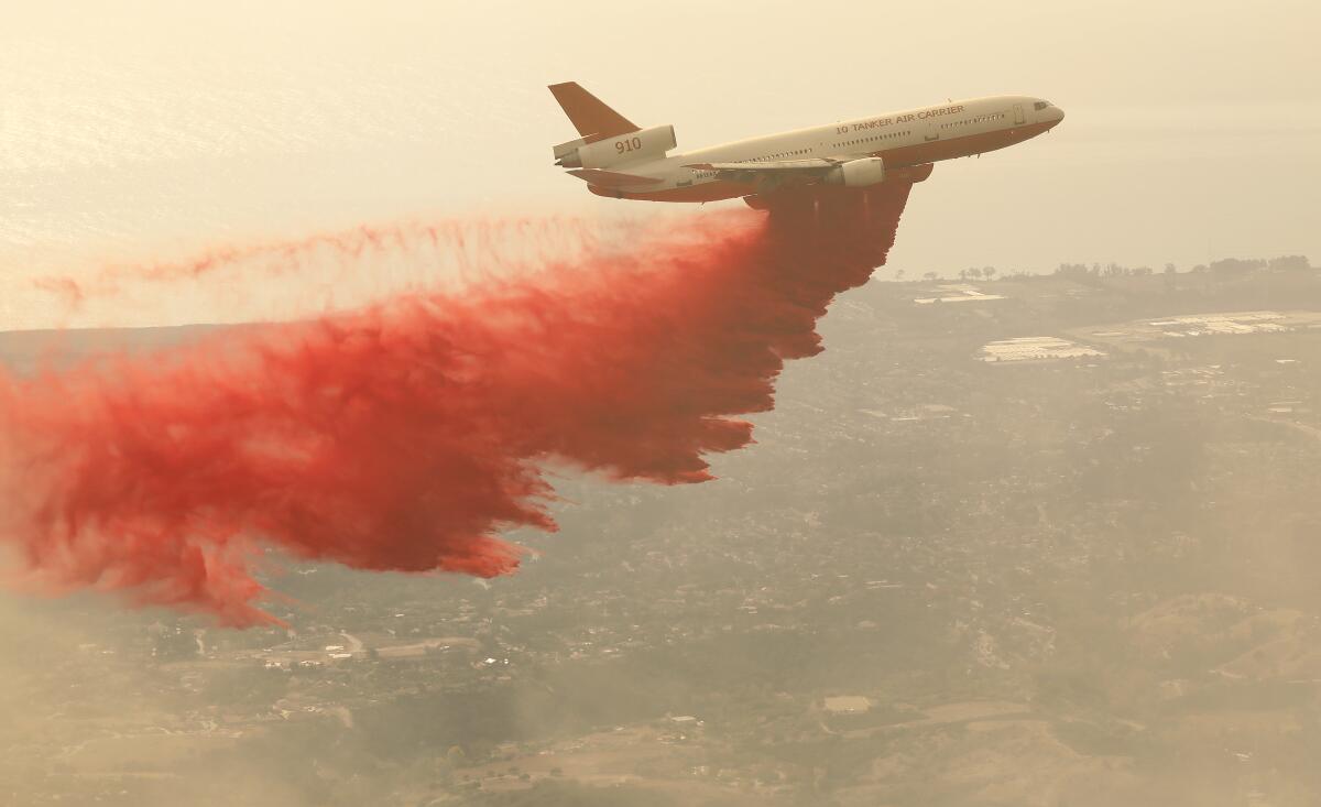
By Tuesday evening, the Cave fire had swelled to 4,300 acres with 10% containment. About 600 firefighters were on scene, defending homes from the advancing flames. Ten fixed-wing tankers and nine helicopters had also arrived, Bertucelli said.
No injuries have been reported, and no homes have been destroyed, but one outbuilding was damaged, officials said. It was not clear how the blaze started.
The storm, which is expected to drop about an inch of precipitation on the fire area, brings its own challenges in the burn area because of possible debris flows it could cause. During an early morning briefing, fire officials warned crews to be cautious when the rain started and to have a plan in case roadways were washed out.

Bertucelli said officials were mostly concerned about small rock slides onto Highway 154.
Residents whose homes were threatened by the fire were also counting on rains.
“People say, ‘what about the mudslides,’ but I believe we need it,” said Fred Cortez, standing in his socks on his ash-sprinkled porch in Santa Bárbara County’s Blue Skies Mobile Home Park. On Monday night, Cortez watched as car after car fled the mobile home park, but he chose not to evacuate.
Firefighters struggle with a brush fire that has forced thousands in Santa Barbara County to evacuate. They hope a coming bout of rain turns the tide.
The community was not under a mandatory evacuation order, and Cortez figured that if he really had to leave, police would come into the neighborhood to alert residents. In the meantime, he repositioned his car so he could make a quick getaway and began packing some important paperwork and belongings.
Cortez watched the news on his computer until 4 a.m., keeping the windows blinds up so he could keep an eye on the fire on the mountains outside. “It looked like it would calm down, and then it would flare up again,” he said.
The rain will likely reach the Central Coast by midnight before moving into Los Angeles County by sunrise on Wednesday. The storm is expected to dump one to two inches of precipitation on the coast and valleys, and up to three inches in the foothills and lower elevations of the mountains, said Kristen Stewart, a meteorologist with the National Weather Service in Oxnard.
“There’s likely going to be heavy rain for the morning commute in Los Angeles tomorrow, so people should be prepared for that,” she said.
The storm also brings the potential for debris flows in burn-scarred areas in Southern California, including the San Fernando Valley region affected by the Saddleridge fire and the Easy fire in Simi Valley.
There’s a slight chance of thunderstorms Thursday with brief pockets of heavy rain. Sustained precipitation could cause mudslides in burn areas, the weather service warned.
More to Read
Sign up for Essential California
The most important California stories and recommendations in your inbox every morning.
You may occasionally receive promotional content from the Los Angeles Times.


