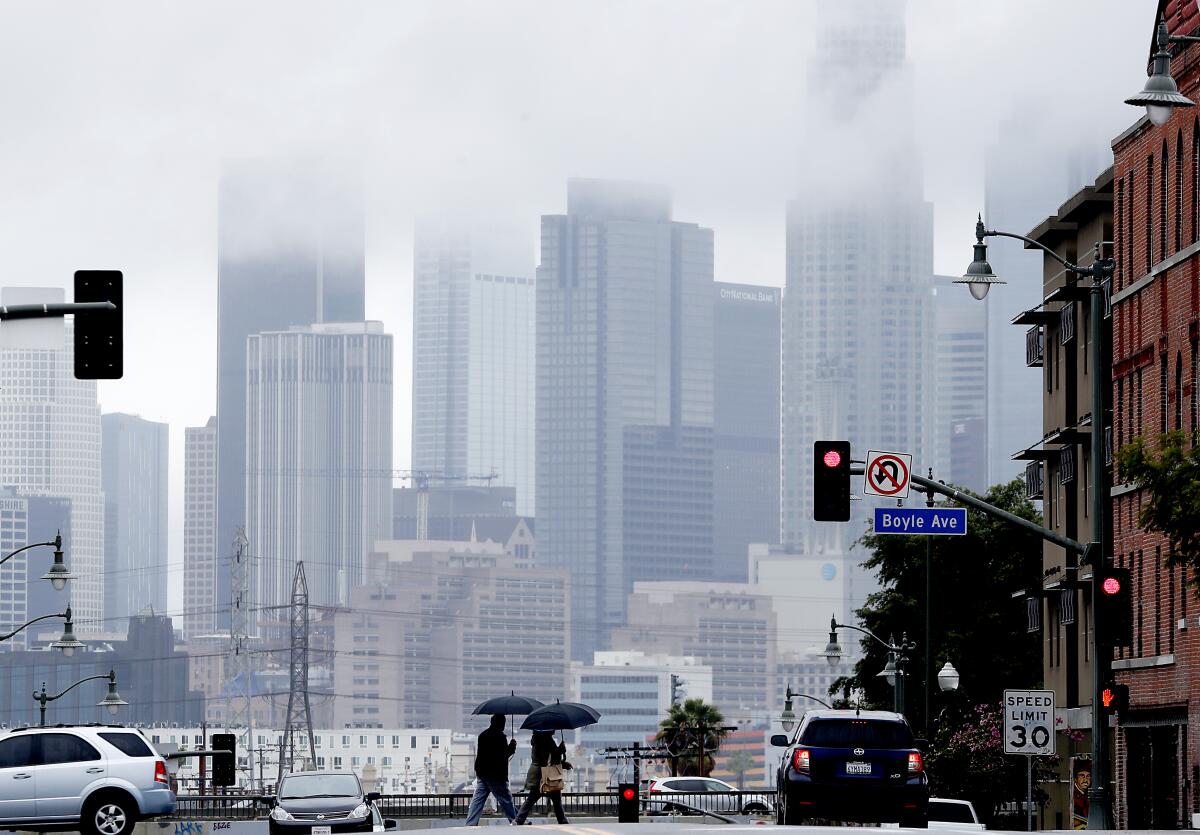
Winter storm brings rain, snow and cold temperatures to L.A. area

- Share via
A winter storm brought scattered rain showers to the Los Angeles area Sunday and dumped snow on the mountains.
Temperatures were 10 to 20 degrees cooler than normal, a trend that was expected to persist for much of the week, said Kathy Hoxsie, meteorologist with the National Weather Service in Oxnard.
“It’s nothing unusual,” she said. “It’s just that we’re finally seeing the overall weather patterns changing and a winter pattern is starting to set up.”
Snow levels were expected to drop to about 3,000 feet in most mountain areas, though they could fall a little lower on the Antelope Valley side, she said.
The Grapevine was expected to see 1 to 2 inches of snow at the pass level accompanied by gusty winds.
“Travelers need to really focus on driving more slowly,” Hoxsie said.
Due to the precipitation, the Los Angeles County Department of Public Health issued an advisory warning to avoid the ocean near discharging storm drains, creeks and rivers because the water is likely to be contaminated by bacteria, chemicals, debris and trash. The advisory was in effect through Tuesday morning but could be extended, officials said.
Rain and mountain snow was also forecast to fall in Central California through Sunday night, with forecasters hoping the precipitation would dampen wildfires in the Sierra and finally cleanse the atmosphere in the San Joaquin Valley.
To the east, the National Weather Service issued a winter storm warning for the mountains of Riverside and San Bernardino counties that was in effect through 10 p.m. Sunday. Forecasters were calling for gusty winds and snow accumulation ranging from up to 4 inches at 5,000 to 6,000 feet and up to 12 inches at 7,000 to 8,000 feet.
Light snow was falling in Big Bear on Sunday morning atop the 5 inches that accumulated there Saturday during the first significant winter storm of the season, said Ivory Small, meteorologist with the National Weather Service in San Diego. The morning temperature there was expected to be a chilly 4 degrees Monday and 10 degrees Tuesday, he said.
The rain and snow was expected to end late Sunday night, but the cooler temperatures were forecast to stick around for a while. There was a chance of a warmup ahead of another storm system that could bring more rain and snow Thursday and Friday, Hoxsie said, but things were expected to then cool off again.
Though it wasn’t enough to put much of a dent in the region’s rainfall deficit, the wet weather was a welcome salve for areas that were recently burned by wildfires. So far, the showers have been sufficient to wet the burn areas but not so torrential as to disrupt them, Hoxsie said.
“If the rain comes down slow enough, it can seep in,” she said.
The storm system was also helping to clear the air of the smoke that has lingered for weeks due to the unprecedented year of fire.
“It kind of pushes all the pollution and things out of the area,” Small said. “It’s going to be pretty crystal clear tomorrow.”
More to Read
Sign up for Essential California
The most important California stories and recommendations in your inbox every morning.
You may occasionally receive promotional content from the Los Angeles Times.


