El Niño is likely returning, bringing danger for California and the world. ‘We need to be prepared’
- Share via
It’s Earth’s original disrupter — a recurring climate pattern so powerful that it can drive global average temperature to record highs, and generate both cliff-crumbling storms and crop-destroying droughts across the planet.
Now, after a long hiatus, El Niño is showing signs of a strong return in 2023.
This week, federal forecasters said there was a 55% chance that a strong El Niño would occur, effectively flooding the surface of the Equatorial Pacific with water so unusually warm that it can alter weather patterns and devastate some ocean fisheries.
El Niño is “the most important global form of climate variability, just given how much of the Earth it affects,” said Justin Mankin, a climate scientist at Dartmouth College. “The sloshing of sea surface temperatures totally reorganizes weather and climate around the world, and its tendency is to kind of amplify a lot of the kinds of impacts that we expect with something like global warming.”
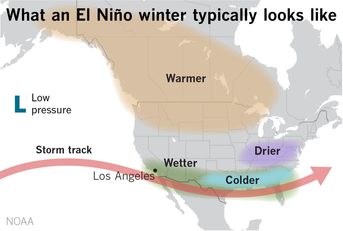
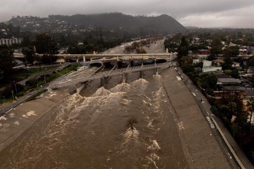
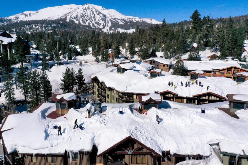
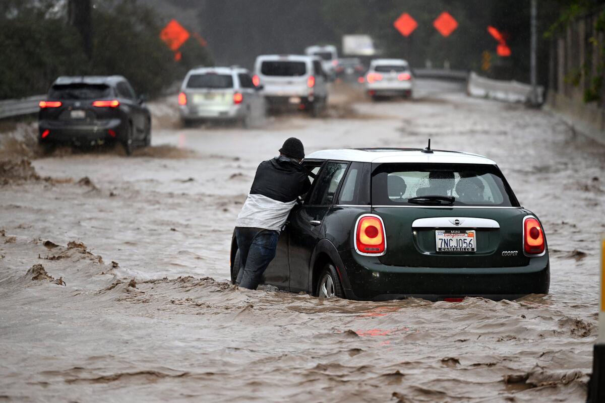
For California — a state already bracing for potentially devastating floods due to epic snowmelt — a strong El Niño could bring a second consecutive winter of above-average precipitation, accompanied by landslides, floods and coastal erosion. For the rest of the world, El Niño threatens to inflict trillions of dollars in global income losses.
“This looks like a really big El Niño event,” UCLA climate scientist Daniel Swain said during a briefing this week. “This looks like it has a high potential of being the real deal, and it’s going to have large global effects.”
El Niño is the warm phase of the El Niño-La Niña Southern Oscillation pattern, sometimes referred to as ENSO, and officials with the National Oceanic and Atmospheric Administration said Thursday that a transition into El Niño is very likely in the next two months.
Though a weak El Niño is possible, there is currently an 80% chance it will be moderately strong and a 55% chance it will be strong, the agency said. There is also a 90% chance that the system will linger through the winter and into 2024.
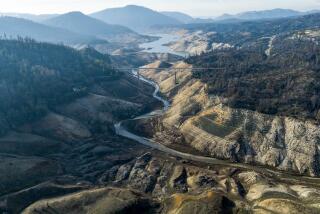
The rare ‘triple dip’ of La Niña was the first time in the 21st century the system appeared three years in a row. Now it could give way to El Niño.
The report came only days after the World Meteorological Organization released its own outlook, which found that in the next five years, worldwide temperatures are likely to surpass record levels due to heat-trapping greenhouse gases and the incoming El Niño.
There is a 66% likelihood that the annual average near-surface global temperature will surge beyond 1.5 degrees Celsius above pre-industrial levels at least once between 2023 and 2027, the agency said. (The Paris Agreement of 2015 established 1.5 degrees Celsius as the global goal for avoiding the worst effects of greenhouse gas emissions and human-caused climate change.)
The WMO predicts that there is a 98% likelihood that at least one of the next five years, and the five-year period as a whole, will be the warmest on record.
“A warming El Niño is expected to develop in the coming months and this will combine with human-induced climate change to push global temperatures into uncharted territory,” WMO Secretary-General Petteri Taalas said in a statement. “This will have far-reaching repercussions for health, food security, water management and the environment. We need to be prepared.”
Extreme heat waves such as the one that hit the Pacific Northwest last year may be 20 times more likely to occur if carbon emissions are not reduced.
Indeed, El Niño has historic implications for a variety of sectors, including the economy. The 1982-83 El Niño contributed to an estimated $4.1 trillion in global income losses in the five years that followed, and the 1997-98 El Niño contributed to an estimated $5.7 trillion in losses, according to a study published Thursday in the journal Science.
Median losses from the incoming event could be at least $3 trillion by 2029, said Mankin, one of the lead authors of the study. The costs are much larger than previous estimates, he said, and reflect the ways in which economies endure persistent depressions for several years after El Niño events.
It is also not a coincidence that Earth’s hottest year on record, 2016, was an El Niño year, he said. Already, NWS forecasts for the next three months favor above-normal temperatures over the western United States and many other parts of the country.
Flying over the Sierra Nevada, teams are using lasers to measure California’s vast snowpack, tracking flood risks as the snow melts.
But while the system will influence weather and climate patterns across the world, it will also have knock-on effects for myriad industries including energy, metals, agriculture and transportation, he said. Insurance losses will be high, and changes in banking and interest rates in response to those effects are possible.
Such global impacts can also trickle into California, as import and export markets in South America, Indonesia and other parts of the world can be affected by El Niño. Flooding in the Peruvian Andes, for example, could disrupt copper mining and reverberate through the supply chain, Mankin said.
“When a few major commodities producers get hit, that can just create this economic backlog that just propagates like a wave through the global economy that could potentially have impacts on California,” Mankin said, not unlike what happened during the early years of the COVID-19 pandemic.
The good news is that “improving our resilience to El Niño will pay dividends in improving our resilience to global climate change,” he added.
However, there are also potential direct effects to California’s agriculture, said Tapan Pathak, a specialist in climate adaptation in agriculture at the University of California Cooperative Extension.
El Niño’s agricultural effects in the state are usually most evident during winter, when warmer temperatures — especially warmer minimum temperatures — can negatively affect crops that require a higher chill during winter dormancy, such as pistachios, cherries and pears, Pathak said.
Warmer winters can also mean more pressure from pests, which might start their cycle earlier, he said. Earlier bud-breaks and flowering, as well as a longer growing season, are also possible.
It’s official: 2016 was the hottest year on record since scientists began tracking Earth’s temperature more than 100 years ago, according to independent analyses by NASA and the National Oceanic and Atmospheric Administration.
Less certain are the effects of precipitation, since the precise timing and location of El Niño-related rainfall in California is dependent on factors such as the magnitude of the system, the position of the jet stream and other related atmospheric and oceanic oscillations, Pathak said.
“There have been El Niño years when we had extreme wet conditions as well as dry,” he said. “But if we were to see another wet year, agriculture might face challenges related to flooding damages, increased diseases due to increased moisture, difficulties in farming operations [depending on the timing of rain], among others.
“That said, if we can utilize excess water effectively, such as managed recharge, increased infiltration through climate-smart ag practices such as cover crops, we can better prepare ourselves for future drought conditions,” he added.
There is indeed a chance of getting it wrong. Despite predictions for a soggy El Niño in 2015-16, Southern California recorded hardly any rain from that event.
But though predictions can be more of an art than a science — especially so far in advance — Californians should still prepare for some impacts, said Mike Anderson, state climatologist with the Department of Water Resources. During El Niño events, high-pressure systems associated with La Niña often dissipate, which means that “we tend to see storms just coming straight off the Pacific in fairly quickly succession,” Anderson said.
“What that tends to do is, you have a long fetch of open ocean hitting up against that open coast of California — there tends to be a lot more coastal damage from wave damage; we see cliff erosion,” he said. “We already have an expectation we’ll see that.”
Sea levels also tend to be higher during El Niño years, indicating that periodic coastal inundations from high tides will be amplified due to rising seas, Anderson said.
Areas farther inland, including parts of Central California, could also face more challenges from El Niño — including the Tulare Lake region, which is still mired under feet of water due to this year’s surprisingly wet winter.
Officials there are scrambling to fortify levees and prepare for heavy inflows from snowmelt, and will be keeping an eye on the El Niño forecast, according to DWR director Karla Nemeth.
“We will certainly want to be in those levee systems making sure those repairs and those improvements are made, if in fact we do have more wet conditions,” she said.
