Ideologies clash as weather service realigns the annual rainfall calendar

The National Weather Service’s rainfall calculations used to go from July to June, but now will run October to September
- Share via
After using the so-called rain year — July to June — for more than 130 years to measure precipitation totals, National Weather Service stations in Southern California recently started using the “hydrological year” — October to September.
While this may seem like inside baseball — or inside rainfall — to the general public, it’s serious enough for those in the weather world to get hot and bothered about.
“Some of the guys … a climate dude, he wasn’t very happy that they switched it,” said Stuart Seto, a weather specialist with the NWS in Oxnard. “Because of the records and stuff, they wanted to hang on to” the rain year.
Every year until now in California, when agencies compared year-end rain totals, the NWS numbers didn’t match the others’.
Michelle Mead, a warning coordination meteorologist with the weather service in Sacramento, said she kept getting grilled on why their numbers were different. She even went to the Department of Water Resources to see whether they knew the history behind her agency’s unique time frame.
“They said, ‘We’ve been asking you guys to change for years!’” she laughed.
But consistency across the state took on a higher priority as California’s historic drought took hold four years ago, Mead said. Every weather service station nationwide produces two rainfall totals: one based on the calendar year and a second based on local preferences, Mead said.
While other agencies in California that track rainfall, including the Water Resources Department and the U.S. Forest Service, operate on an October-to-September time frame, some NWS stations weren’t following suit, and apparently never had.
“We did have some folks who [said], ‘But we’ve always done it that way,’” Mead said. “It’s not a good answer.”
One such station, the Oxnard facility, established in 1887, aligned the rain year with Southern California’s climate.
Since the region experiences virtually no rain from July to August, it’s a good starting point for record keeping. In the north, where there’s more rain, climatologists focus on the winter snowpack and runoff through the spring and summer, said Bill Patzert, a climatologist at NASA’s Jet Propulsion Laboratory.
The north’s runoff is nothing but a tiny stream by September, which makes the beginning of October the best time to calculate rainfall there in order to determine runoff, Patzert said.
“This might be a pissing contest between the stream people and the rain people,” he joked. “It should be based on more local conditions rather than homogeny. This [change] smacks of big, non-thinking bureaucracy.”
In practical terms, how officials measure rain totals changes nothing for Californians, experts say.
“Two plus three equals five but so does three plus two,” Mead said. “None of that precipitation was lost [in calculations].”
But the rainfall records could change, essentially “rewriting history,” Patzert said. “I haven’t given up. I definitely haven’t lifted the white flag.”
And apparently neither have some of the people working in Oxnard.
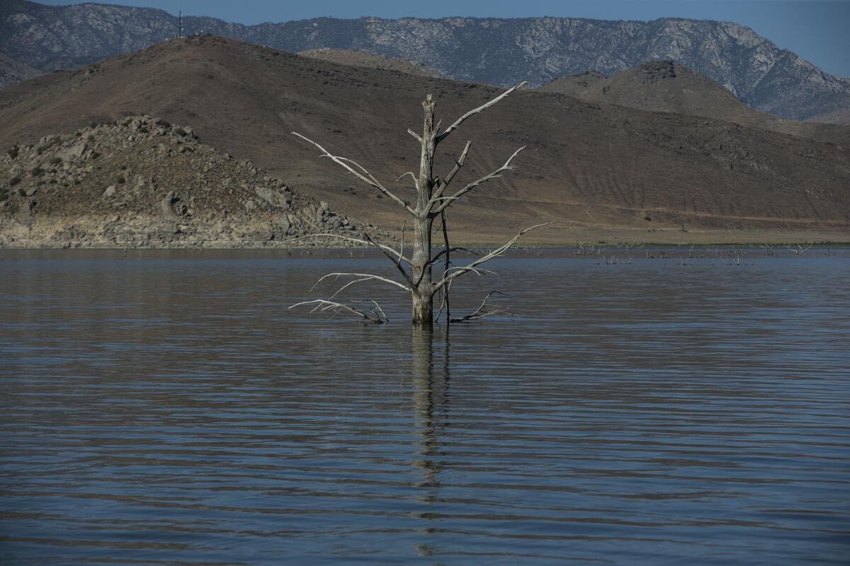
The station released a statement Tuesday night announcing that downtown Los Angeles had its driest four-year span since record keeping began in 1887 — based on rainfall from July 1 to June 30.
More to Read
Sign up for Essential California
The most important California stories and recommendations in your inbox every morning.
You may occasionally receive promotional content from the Los Angeles Times.


