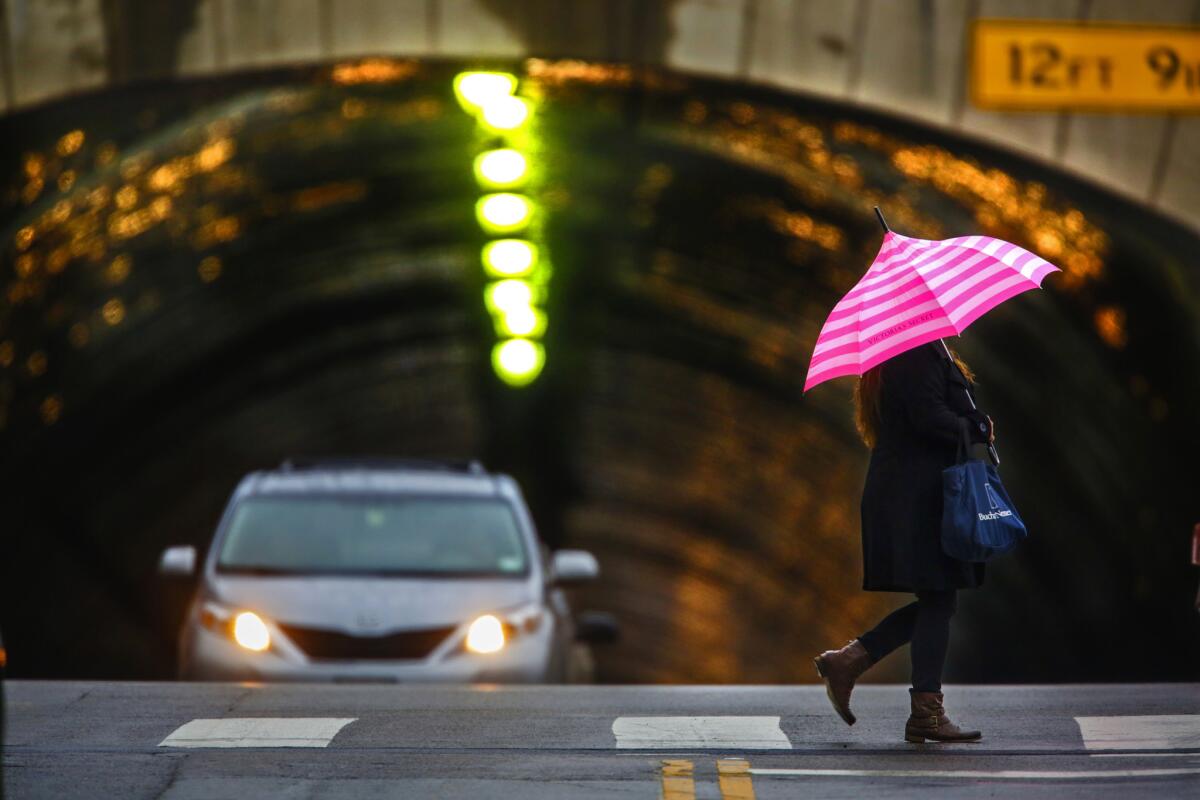
Beginning Sunday night, Los Angeles could see a week full of rain

Several winter storms are expected dump up to 6 inches of rain in and around Los Angeles this week.
- Share via
A series of El Niño-related rainstorms and snowfall is expected to begin late Sunday night and could last all the way into next weekend.
There’s a 30% chance of rain between 10 p.m. Sunday and 4 a.m. Monday, and a 70% chance Monday morning, said Robbie Munroe, a meteorologist with the National Weather Service in Oxnard, with the possibility of up to a half-inch of rain.
The strongest storm of the week is likely to hit Tuesday, Munroe said, bringing 1 to 2 inches of rain in foothill areas and up to 4 inches at higher elevations. Mountain areas above 6,000 feet could see up to 2 feet of snow.
On Wednesday, another low-pressure system could bring rain that lasts into Friday morning, and next weekend another system is expected to bring rain and snow at higher elevations.
With prolonged rainy conditions ahead, flash floods and debris flows -- especially in wildfire burn areas -- could endanger communities in the Los Angeles basin, Munroe said. Heavy snow in mountain areas will make driving dangerous.
The storms are among some of the first effects of El Niño, a series of weather conditions caused by warming of the equatorial waters of the Pacific, weakening rains in South Asia and bringing heavier rains to California. The storms peak in January, February and March.
This year’s El Niño is expected to be one of the most powerful ever recorded, and local officials are rushing to make preparations, stockpiling sandbags, clearing culverts and allocating funds to get homeless people off the streets before the storms hit.
More to Read
Sign up for Essential California
The most important California stories and recommendations in your inbox every morning.
You may occasionally receive promotional content from the Los Angeles Times.


