High-pressure mass above Southern California keeps brunt of El Niño away

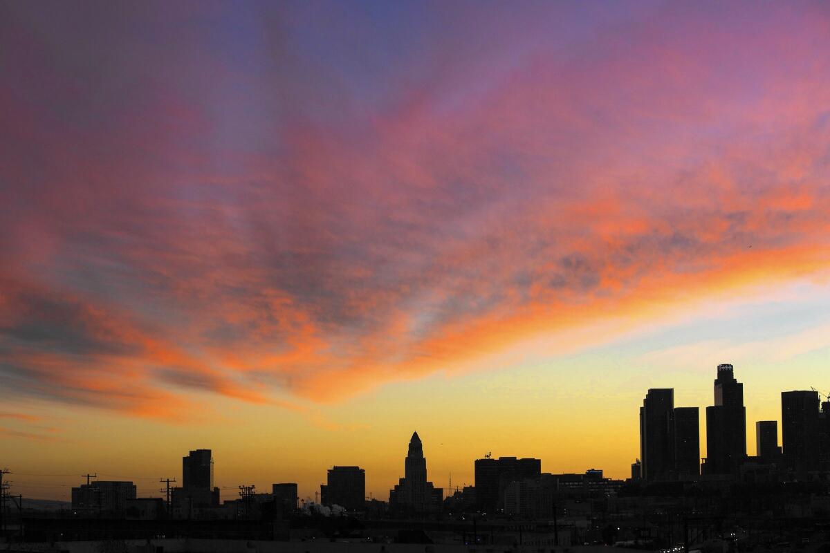
Sunset above downtown L.A. on Jan. 28. As of Friday afternoon, downtown had recorded 6.54 inches of rain, 91% of average.
- Share via
El Niño-fueled storms have left apartments teetering on a cliff’s edge near San Francisco, and snow has piled up in the Sierra Nevada mountains, with the water content 111% of normal.
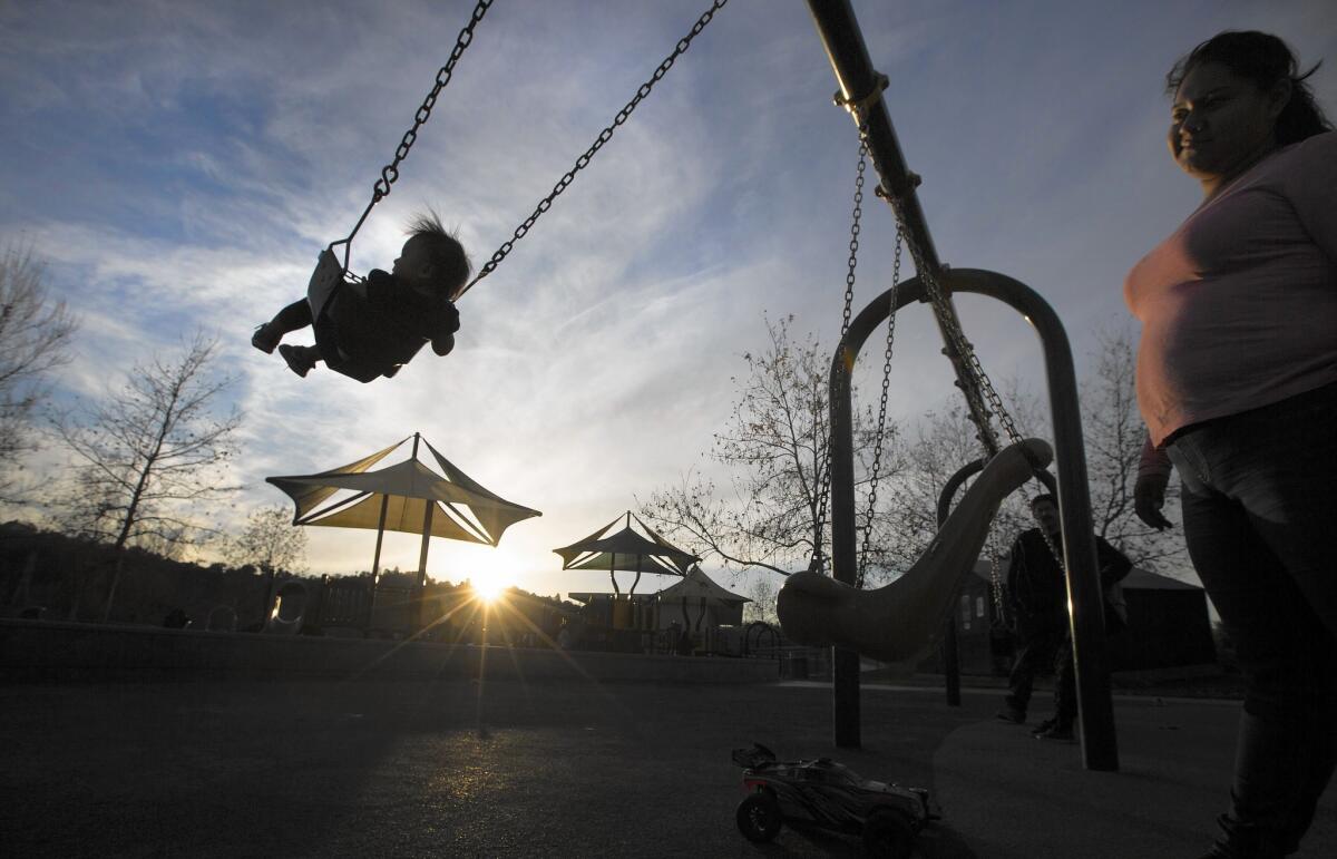
Yet Southern California has been in a dry spell for the last three weeks, which is expected to be briefly interrupted this weekend with the arrival of a blustery storm.
But that storm should move out by Monday, replaced once again by dry, mild weather.
The biggest reason for the contrast between the wet north and the dry south is masses of high pressure sitting southwest of California, and on top of Southern California and Nevada. This type of system repels storms.
We’ll see quite a few storms come through between now and the end of March and even April.
— Curt Kaplan, National Weather Service
“High pressure literally means there’s more air in the atmosphere above you. And it pushes down on the air. And when it does that, it compresses it, and it literally heats up through compression,” said Bill Patzert, climatologist for NASA’s Jet Propulsion Laboratory in La Cañada Flintridge.
That mass of high pressure “needs to flatten out and go away” for storms to return to Southern California, said National Weather Service meteorologist Dave Bruno.
But that doesn’t mean hopes for an El Niño-style Southern California winter have been dashed.
Experts say it might be simply too early for El Niño-influenced rains to arrive in Southern California.
During the last two strong El Niños on record, the heaviest rains came during February 1998 and March 1983, Patzert said.

Los Angeles has actually done well — by drought standards — for rainfall since July 1. As of Friday afternoon, downtown had recorded 91% of average, seeing 6.54 inches compared with the average of 7.2 inches. The biggest storms came the first week of January, which brought 2.71 inches of rain in three days, and Sept. 15, which brought 2.39 inches.
It’s actually not that far off, percentage-wise, from San Francisco. San Francisco is 101% of average since July 1. L.A. has only seen three days in January where rainfall exceeded one-hundredth of an inch; San Francisco has seen 14.
The two biggest El Niños on record, which developed over 1982-83 and 1997-98, brought double the rain and snowpack for California, Patzert said. This El Niño is in the same league as those two.
El Niño is a warming of surface ocean temperatures about 1,000 to 2,000 miles south of California that fuels atmospheric disturbances worldwide. Right now, it’s 2.5 times the size of the continental United States.
What makes this El Niño impressive is that it’s still so huge compared with the El Niño of January 1998, which was already contracting by this point, Patzert said.
Periods of sunny and warm weather in Southern California are typical even in strong El Niño winters, Bruno said. “No need to be alarmed that El Niño is a bust.”
Here are more questions about El Niño:
Why do warm ocean temperatures 1,000 to 2,000 miles away from Southern California affect storms coming our way?
Think about the western Pacific Ocean. The ocean surface is warm, and there’s lots of clouds, rain and storms.
From Japan, those warm temperatures fuel the subtropical jet stream — a narrow band of strong winds in the atmosphere that pushes storms west to east. But that jet stream typically peters out in the middle of the ocean, around where the ocean’s surface starts cooling.
But during El Niño, when warmth arrives at the sea surface of the central and eastern Pacific Ocean, stormy energy comes with it, Patzert said. Think of it like a kick-starter for the subtropical jet stream.
“They energize a subtropical jet stream in the normally calm eastern Pacific,” Patzert said.

All that warm water “strengthens and elongates the subtropical jet stream,” Patzert said, and gives it a second life. Due east of Japan happens to be Southern California, and so the renewed subtropical jet stream aims for a collision course with Southern California and the southern United States.
So what’s causing Northern California to get the rain and snow?
Blame that storm-repelling mass of high pressure, which is pushing the moisture from the subtropical jet stream north into Northern California.
There is a mass of high pressure typically southwest of California, and it has been stronger than normal, said Stanford University climate scientist Daniel Swain.
If the subtropical jet stream gets even stronger later this winter and the mass of high pressure weakens, that could allow a series of storms to get to Los Angeles, Swain said.
So when will those big storms finally show up?
We don’t know for sure. But many experts, including meteorologist Curt Kaplan of the National Weather Service, express confidence that the rains will come.
“People are a little panicked, but they shouldn’t be,” Kaplan said. “We still have a very strong El Niño set up in the Pacific … and it’s still encouraging we’ll see quite a few storms come through between now and the end of March and even April.”
The snowpack is a really important indicator of California’s water supply. How are we doing on that?
The water content in the snow in the northern Sierra Nevada on Friday was pegged at 124% of average. For the central Sierra, it was 115% of average and for the southern Sierra, 93%. For the three regions combined, it was 111%.
State officials say the snowpack water content needs to be at 150% of average to come close to digging California out of the drought. That’s an ambitious benchmark that will be difficult to achieve, and it’s more likely that California will be about average for the year, officials say.
What do water managers think about the recent rain and snow?
They’re optimistic but point out that the reservoirs are so low that it will probably take more than just a single year of above-average rain and snow to recover. For instance, California’s fourth-largest reservoir, New Melones Lake, is only at about 16% of capacity.
The Southland’s chief importer of water, the Metropolitan Water District of Southern California, has exhausted two-thirds of its drought backup supply. And it’s unclear how much Southern California will get from water supplies in the north later this year.
Even an average year of rain and snow might result in Southern California getting only half of what it wants from the State Water Project, a vital aqueduct that supplies the south with water from the mountainous north, said Deven Upadhyay, manager of the water resource management group at the MWD.
Twitter: @ronlin
Times staff writer Veronica Rocha contributed to this report.
ALSO
O.C jail escapee surrenders with plea to a friend: Call police
Are we getting closer to understanding where the moon actually came from?
Japan imposes a negative interest rate: What that means for them and us


