L.A. Walks: Cascades of the California Aqueduct
- Share via
One hundred years ago, water that had traveled from Central California began cascading into the thirsty San Fernando Valley. Today, this unexpected walk is one of the few L.A. hikes that features a close-up view of the great Los Angeles Aqueduct, near those historic cascades.
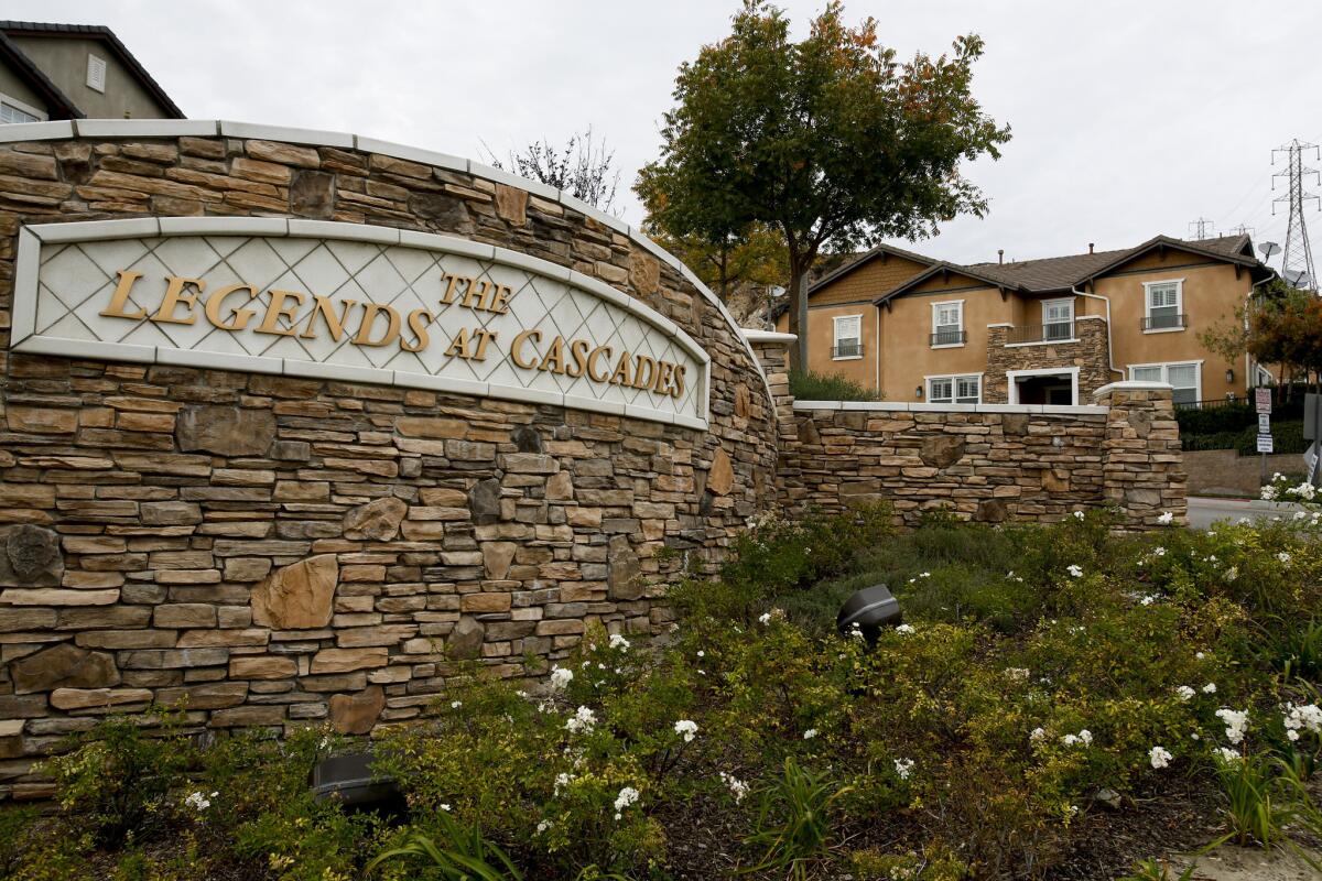
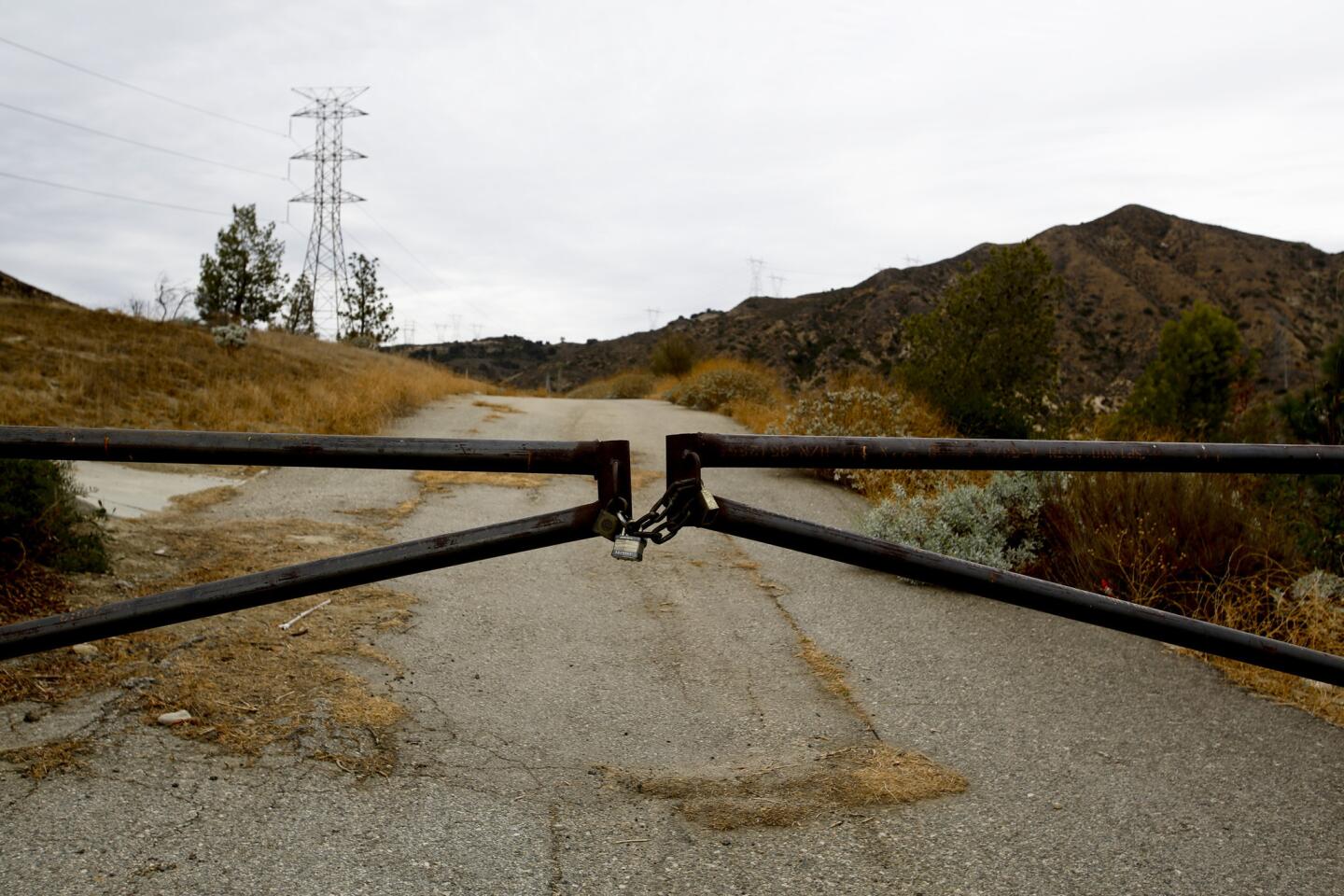
Walk past the entrance to Legends at Cascades, and Nicklaus Drive, until you reach a narrow paved road stopped by a wide steel gate.
1. From the corner of Foothill and Balboa boulevards in Sylmar, walk uphill following the white rail fence that parallels the north side of the road.
2. Walk past the entrance to Legends at Cascades, and Nicklaus Drive, until you reach a narrow paved road stopped by a wide steel gate. Turn left and walk around the gate.
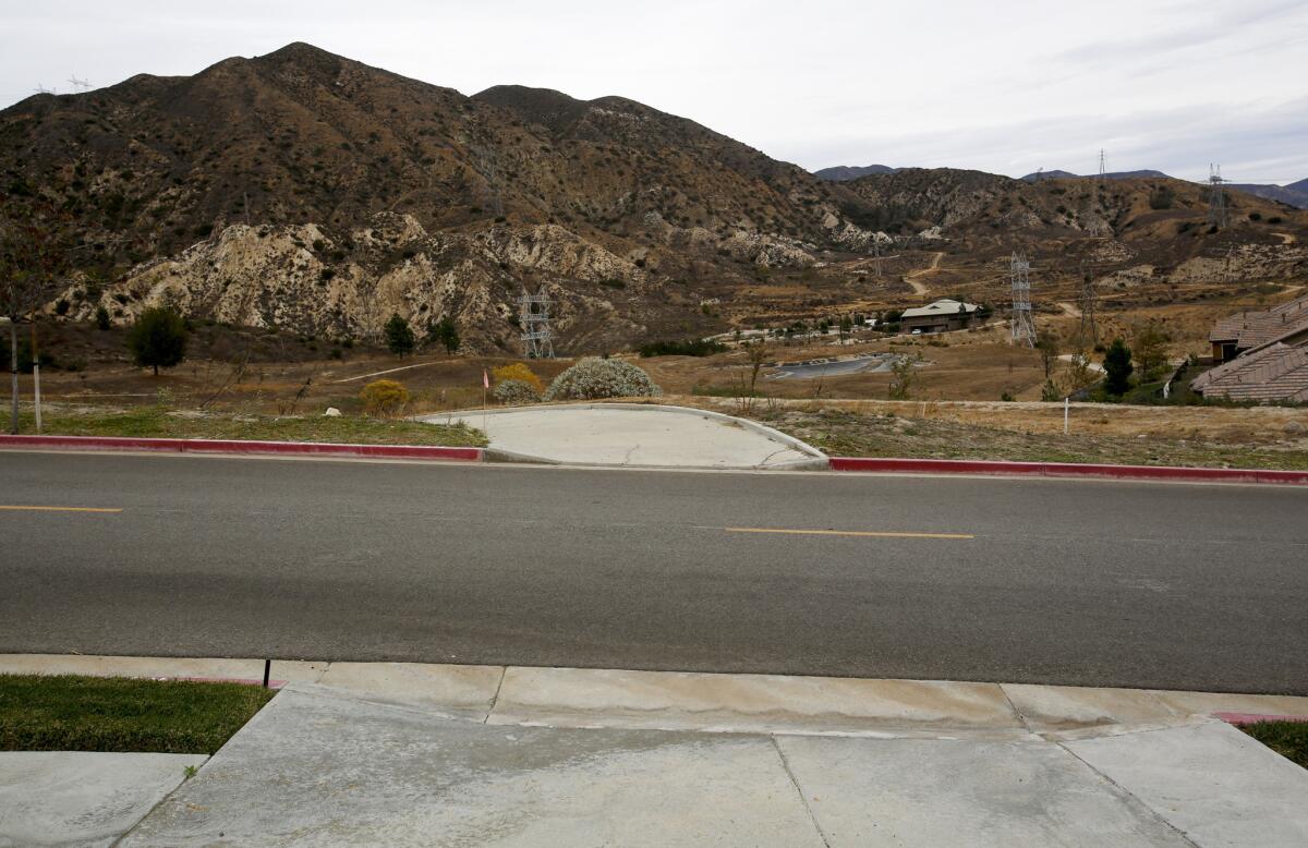
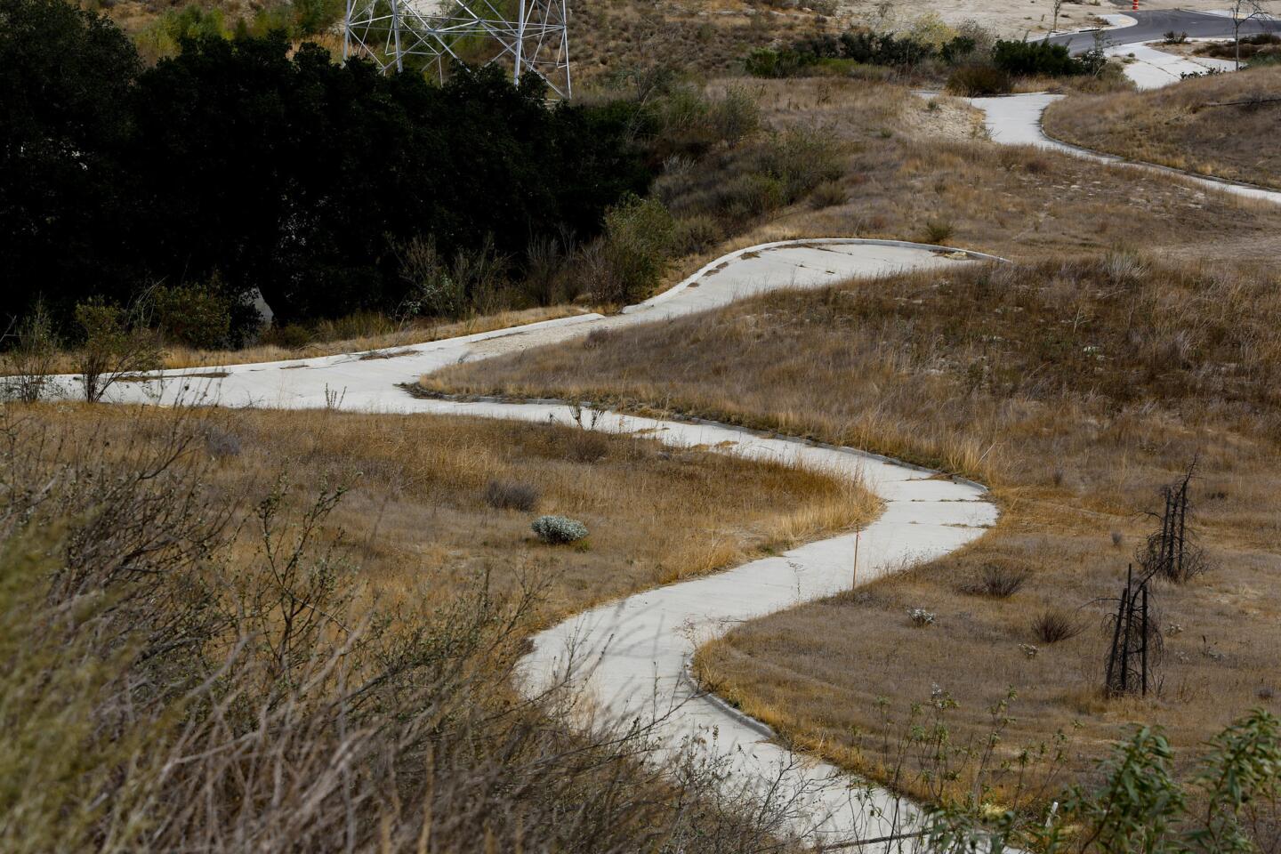
3. Walk uphill, cross a paved road, then descend on a narrow concrete walkway to a T intersection. Turn left.
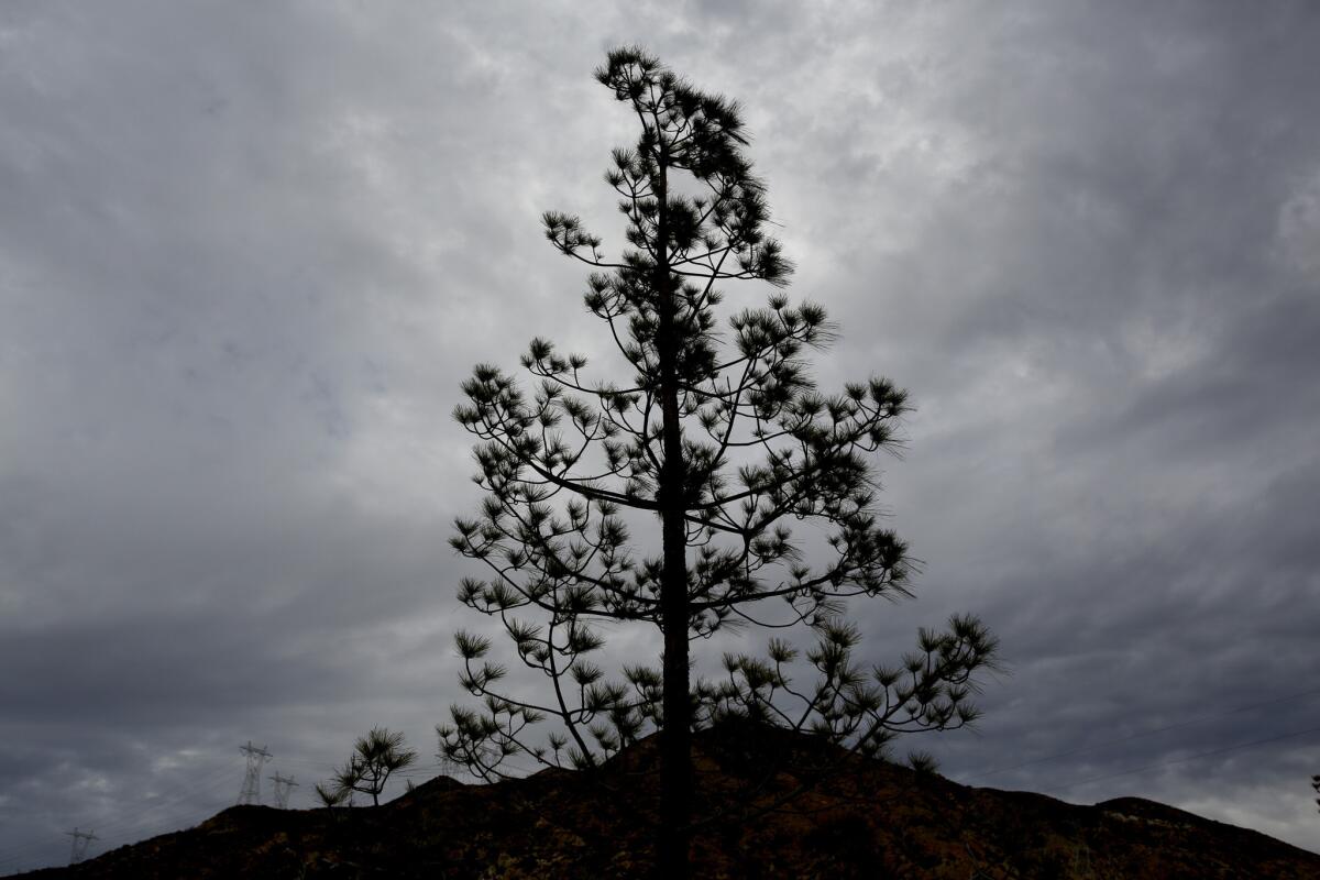
4. The concrete trail loops around a grassy field dotted with pines. Follow this until, after a gradual downhill, the trail begins to bend right. Just there, turn left across a dozen feet of grass, cross to a concrete cul-de-sac and continue on another concrete trail. Turn left again after 20 feet and begin walking uphill.
MAP: Find the perfect L.A. Walk near you
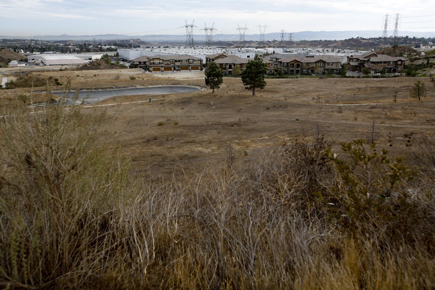
5. That trail will merge with a paved road. (This is actually a section of the Rim of the Valley Trail, a hiking byway that runs for dozens of miles.) One hundred feet later, veer off to the right on another concrete walkway, and enjoy a gradually steeper descent — with views of the Los Angeles Reservoir, a water storage facility fed by the Los Angeles Aqueduct — that eventually ends in another T intersection.

6. Turn left and walk toward the back of the Legends housing development. As you go, you’ll get views of the Los Angeles Aqueduct — full of cascading water if you’re lucky.
7. The paved trail will hit Nicklaus Drive. Take this to the right until Nicklaus reaches Balboa Boulevard. Turn right again and walk downhill to your starting point.
Fleming is the author of “Secret Stairs: A Walking Guide to the Historic Staircases of Los Angeles” and “Secret Stairs East Bay: A Walking Guide to the Historic Staircases of Berkeley and Oakland.”
Stats on the Cascades of the California Aqueduct route
Distance: 2.1 miles
Duration: 1 hour
Difficulty: 2 on a scale of 1 to 5
Details: Ample street parking. Wheelchair accessible. Dogs on leashes are OK. Can be reached by Metro buses 236 and 237.
ALSO
They talk the talk, but don’t walk
Wattles Garden Park reopens to walkers and hikers
In Bronson Canyon, the tai chi energy has flowed for 45 years

