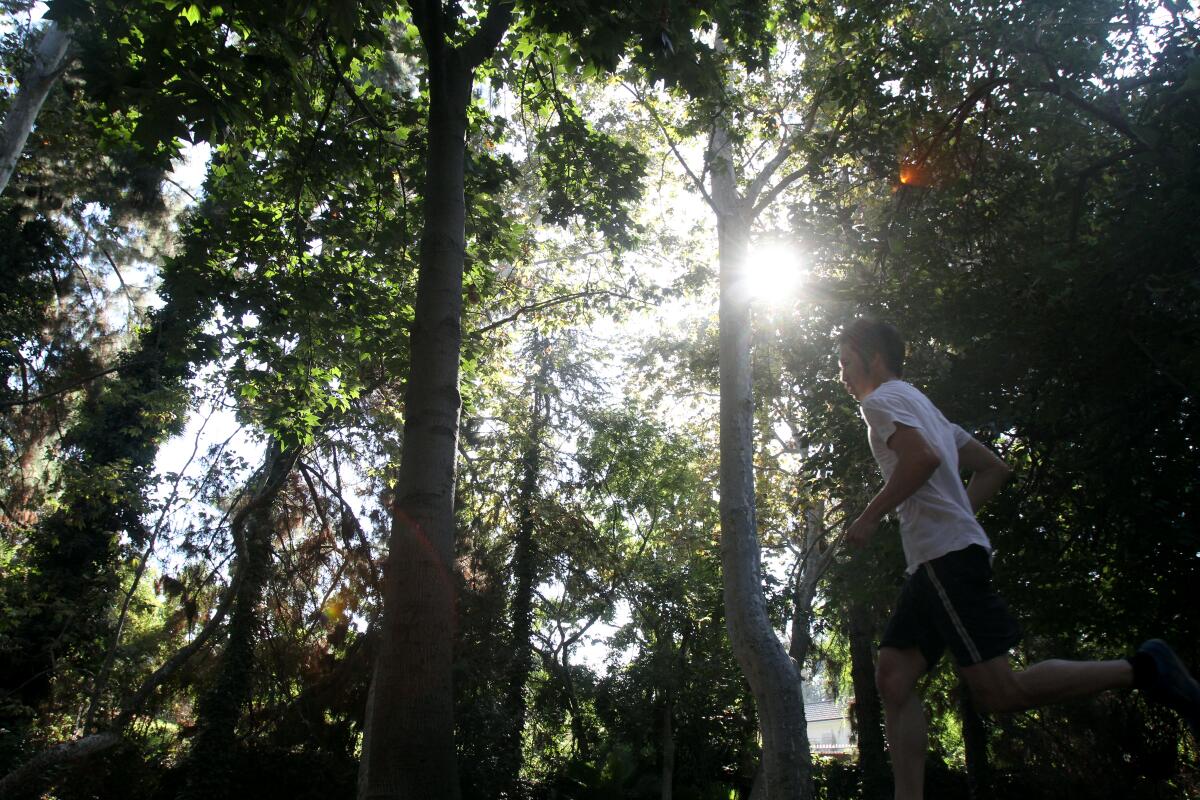
Too hot to hike? Try these 14 SoCal trails filled with glorious shade
- Share via
Hiking when it’s hot can be miserable, even when you carry lots of water. Few trails are completely sun-free, but these 14 offer you a shot at that rare SoCal commodity: shade. Oaks, sycamores and sometimes willows line these routes that are short but oh so chill.
Planning your weekend?
Stay up to date on the best things to do, see and eat in L.A.
Some warm-weather pointers: Start early to avoid the harshest heat of the day, bring plenty of water and sunscreen, and enjoy the trees (some have benches where you can linger) on these shady paths from Northridge to Long Beach.
Fern Dell in Griffith Park
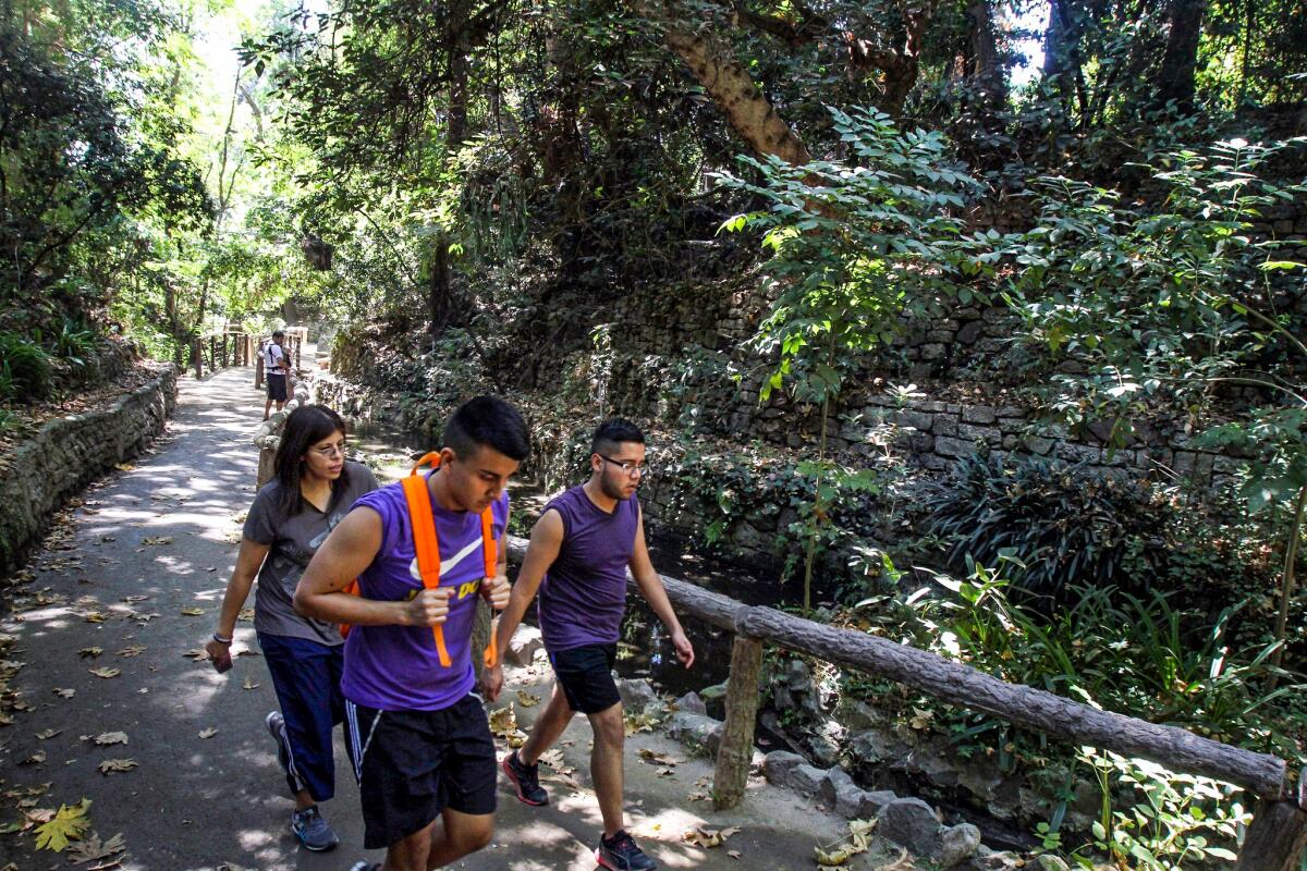
It was officially named the Fern Dell Nature Museum, the “museum” being the wondrous plants. In the early 20th century, water from the canyon’s natural spring were thought to be healing. That began the addition of rustic touches, such as cement banisters (made to resemble wood) in the grotto and mortar-less stone walls.
The green oasis can be crowded, especially on weekends, so arrive early. Begin at Los Feliz Boulevard and Fern Dell Drive, following the path behind the Griffith Park sign and statue of a bear cub. The main paved walkway is short; feel free to explore the side trails.
If you want a longer hike, take the exposed dirt path that leads to a loop route up to the Griffith Observatory. The shade gives out on the 2.5-mile route with 613 feet of gain. If not, turn left at a pair of bridges, arrive at the Fern Dell grotto and retrace your steps. Check out the L.A. Times guide to the wild, classic and hidden gems of Griffith Park.
Henninger Flats
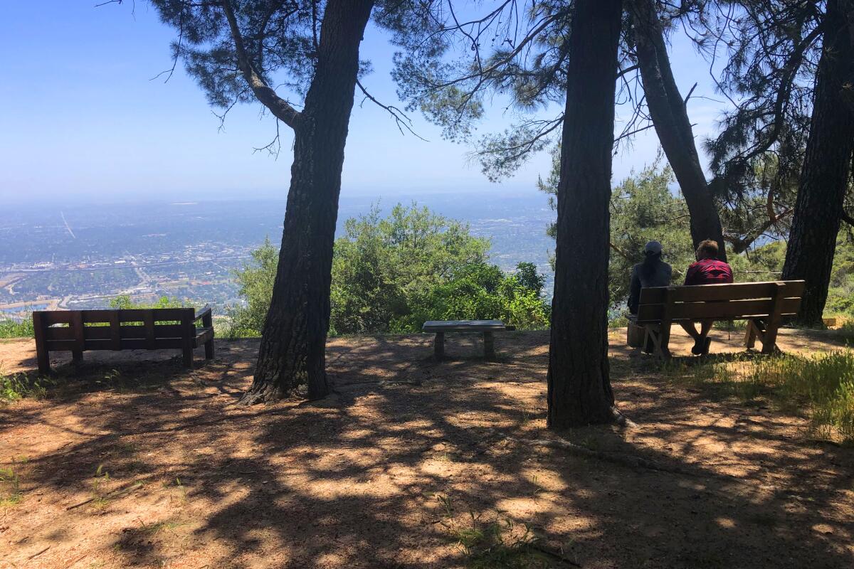
Park and start at Eaton Canyon Nature Center in Pasadena or start at the gate at Pinecrest Drive in Altadena (that shaves the route to 2.7 miles). Directions to trailhead.
Limekiln Canyon Park
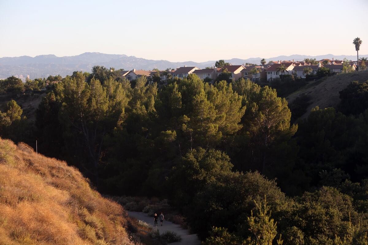
Though it’s naturally shaded, go early in the day, especially in summer before the heat picks up. Start near the intersection of Rinaldi Street and Tampa Avenue near the park entrance and begin walking downhill on a broad path, past a grassy field and under the shade of oak, pine and even a few redwood trees. (Note the warning about rattlesnakes: another reason to keep your dog on a leash.) At the first Y intersection, just before you reach a creek on your left, leave the wide trail for a narrower one heading up to the right. Walk on, keeping the creek on your left.
In the streambed, note the sycamore and willow trees, interrupted by the occasional incongruous fan palm. At the next Y, head right and climb a short, steep bit of trail to a wider trail. (Or go straight ahead at the bottom of this climb to check on a shady spot with a rope swing over the creek.)
Continue along this flat trail, which is paved in places, leaving the streambed far below you as it passes under Hollow Springs Drive. Walk on as the trail rises and falls, sometimes running close to the stream down to the left, sometimes close to Tampa Avenue up to the right. In a little less than two miles, the wide, flat trail suddenly ends.
Two spur trails rise up to Sesnon Boulevard, and more trails continue on the other side, but this is the end of the line for this walk. Turn around and head back downhill, staying on the unpaved narrow trail to the right wherever there is a Y intersection with a paved road going to the left. (These will lead up to Tampa Avenue.) Near the bottom, bear right at one last Y intersection and cross a wide meadow shaded by tall pine trees. Then turn left and make a water crossing — the creek you skipped at the beginning of the walk — to return to the main trail, under those redwoods, and the way back to your starting point on Rinaldi.
Park on the street near the Rinaldi Street entrance. Here are more shady places in L.A. to explore.
El Dorado Nature Center
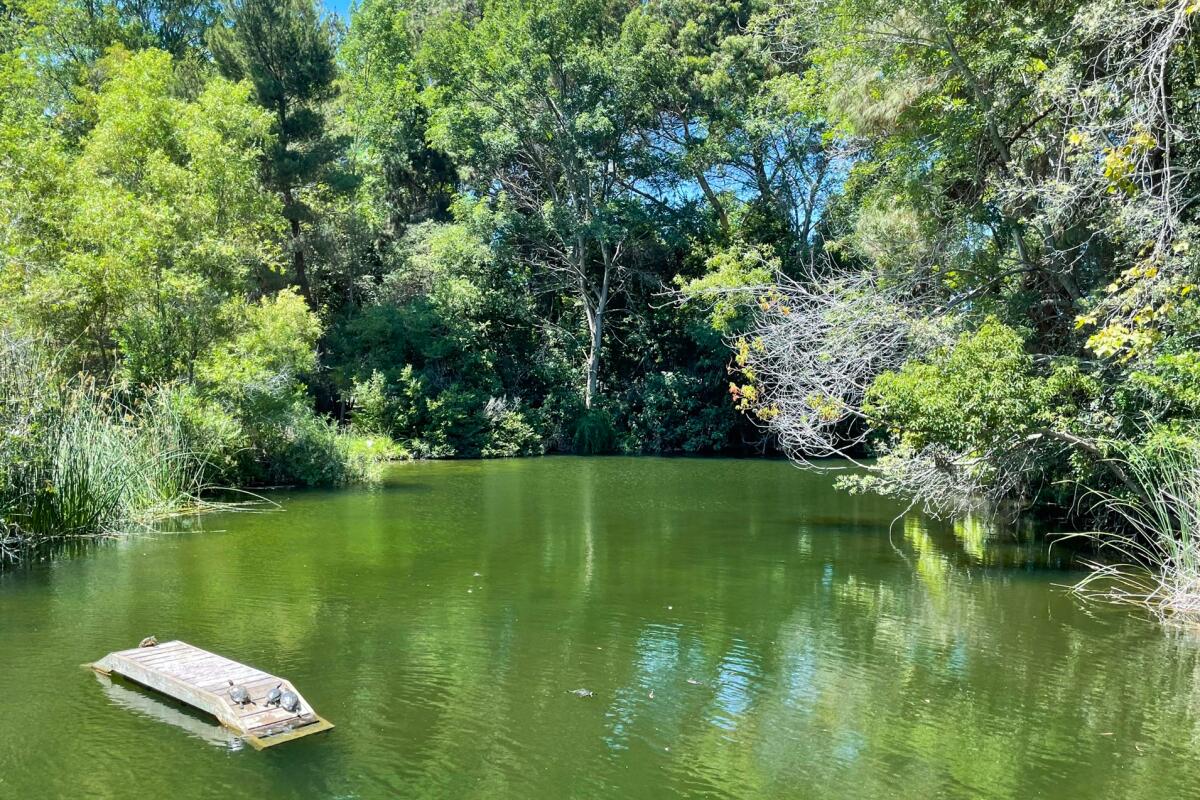
Choose an easy quarter-mile trail through the trees or bear left to find one- or two-mile routes. The one-miler crosses the creek and winds gently uphill through an oak-filled spot nicknamed Squirrel Hill (lots of signs about not feeding them); the two-mile trail swings out to a second body of water, South Lake, before looping back to the main trail. It’s a lovely, cool refuge on a hot day but not always silent.
You can hear the distant hum of freeways (the 605 and 405 are nearby) and sometimes the screeches of school kids who visit by the busload. Still, none of this undermines the cool-down effect on super-heated days. After your hike, explore surrounding El Dorado East Regional Park, which has a dog park, more lakes and shaded places to seek out on a hot day.
The trails are open 8 a.m. to 5 p.m. (no entry after 4:30 p.m.); parking costs $6 to $9 per vehicle. Find more information about the El Dorado Nature Center here and check out the 50 best hikes in L.A.
Carbon Canyon Regional Park, Brea
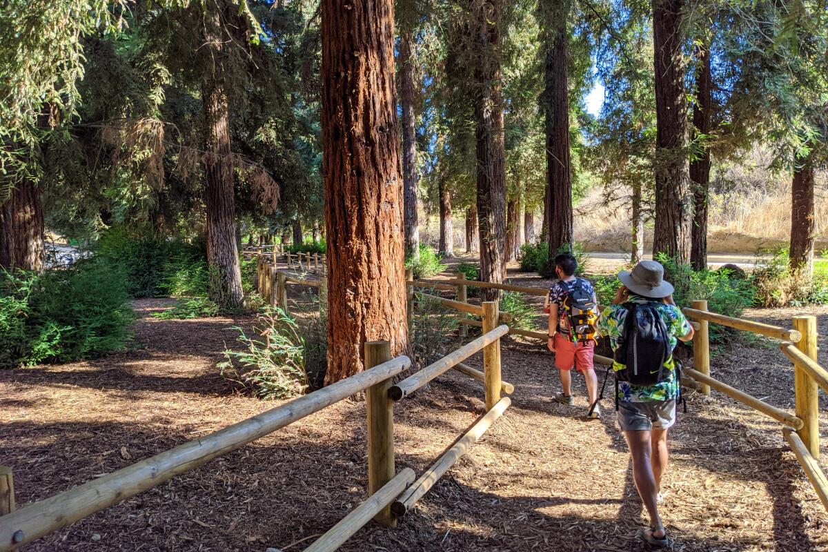
The wide dirt path of the nature trail is well-marked throughout and meanders through dense shrubs and walnut trees (listen for resident towhees) before depositing you under the giant arboreal wonders after just half a mile. The grove of 241 coastal redwoods, the product of a local bank’s seedling promotion in the 1970s, is the largest of its kind in Southern California.
Interpretive signs detail their history, including the efforts of park rangers to preserve them despite Southern California’s arid climate. Among the nearly 100-foot Sequoia sempervirens specimens, you’ll notice the temperature drop more than 10 degrees (as if you need another reason to go). Before heading back, climb the steep trail at the southwestern corner for sweeping views that look down on the grove, as well as hulking Carbon Canyon Dam and the surrounding town of Brea.
Park in dirt or paved lots ($3 weekdays, $5 weekends); dog-friendly. Start at the nature trail from the south parking lot.
George F Canyon Preserve
Icehouse Saddle
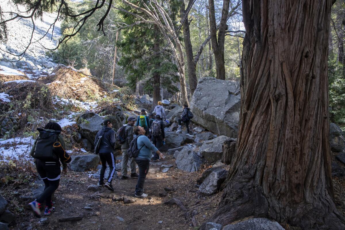
The trail pushes on past rustic cabins and, in spring and summer, columbine and scarlet monkey flowers bloom at watery seeps. You’re hiking uphill the whole time. Halfway up, long switchbacks require serious leg work as the trail zigzags toward the saddle at 7,500 feet. Pull up a log, bask in the shade and have lunch or a snack.
For those who want to hike longer and higher, continue from the saddle on well-marked routes to Ontario, Cucamonga and Timber (shown in the photo above) peaks. On the way down, stop at the creek to double down on the cool factor. One caveat: Parking is brutal on weekends. When the lot is full, you’ll have to find a spot on the narrow Mt. Baldy Road. Also, a U.S. Forest Adventure Pass ($5) is required.
Switzer Falls
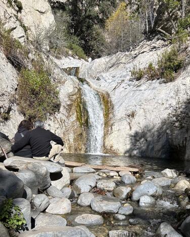
The site was one of the first mountain resorts to open to “tourist hikers” in 1884, and it’s easy to see why. The downhill hike takes you to the top of the falls and then into cool Bear Canyon. Refresh yourself at the 50-foot lower falls and maybe swim in its pool (the upper falls are hard to access on a sketchy route). Hang out by the water or in one of the shady picnic areas along the way. The way out is the same — only uphill. Go early to snag a parking spot and beat the hordes.
Park and start at the Switzer Picnic Area on Angeles Crest Highway about 10 miles north of La Cañada Flintridge. Directions to trailhead.
Century Lake Dam
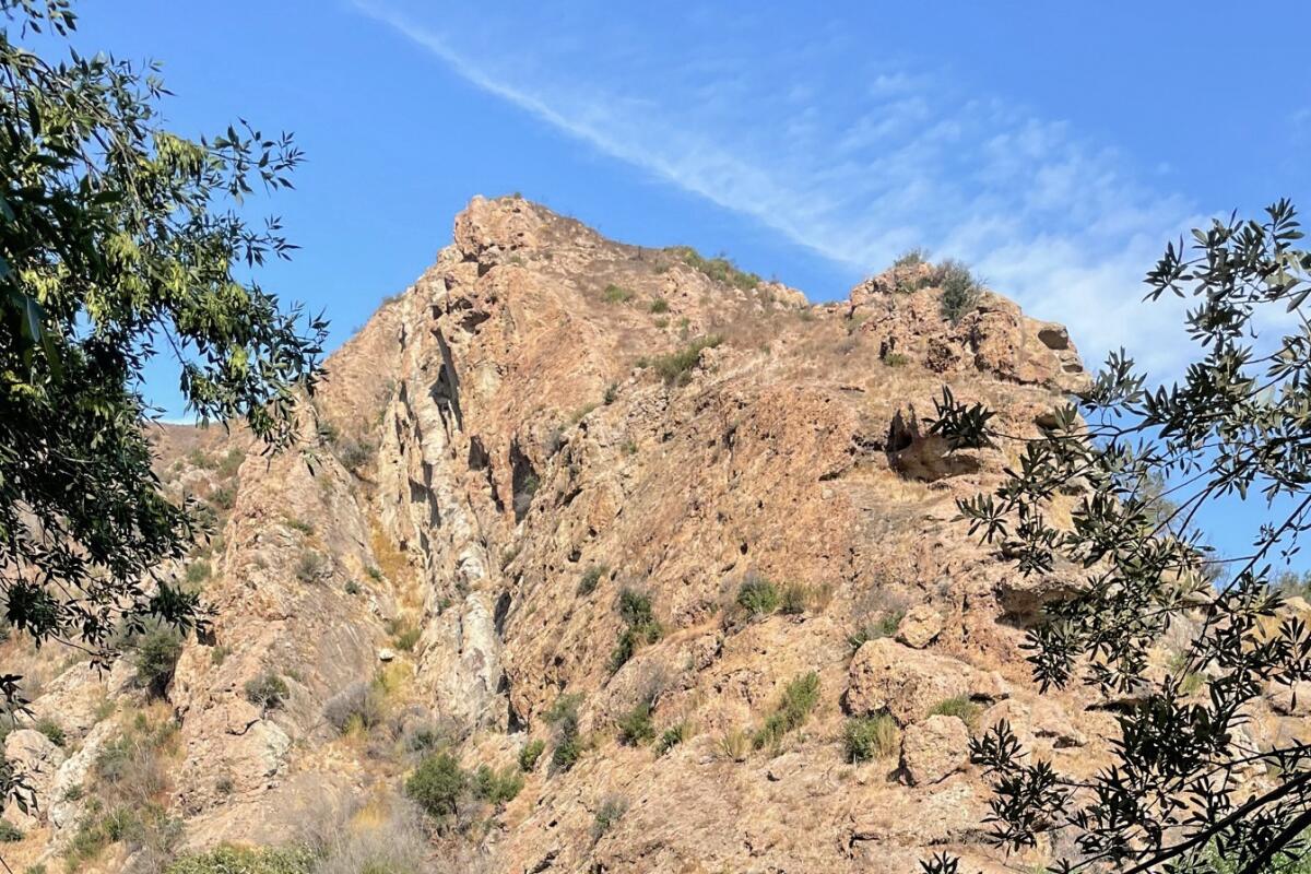
Start in the parking lot and take the dirt trail, which is wide enough to accommodate hikers, horseback riders, trail runners and mountain bikers without anyone getting cranky about their space. It parallels the creek (which, depending on when you go, may be dry in places) under canopy oaks that frame the craggy rock formations that made the park a movie-maker’s dream.
Follow signs to Crags Road, and, after an exposed uphill stretch, you’ll see a marked turnoff to the lake on the left. You can dive in (here and at the nearby Rock Pools) and snack at a lakeside picnic table. Want to go farther? Another mile on Crags Road leads to a single-track trail and old vehicles from the “MASH” TV show from the 1970s and ‘80s.
Enter off Las Virgenes Road and park ($12 for the day).
Oakwilde (Gabrielino Trail)
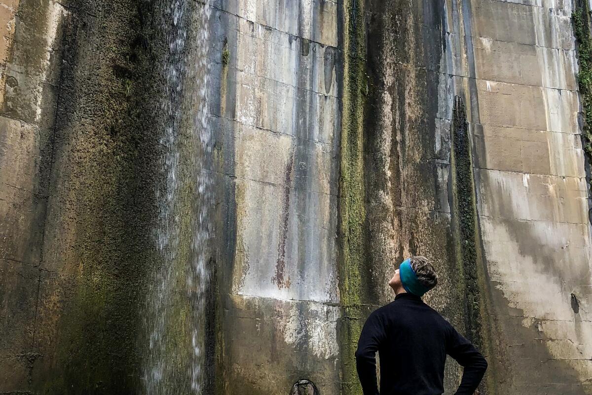
Enter on Ventura and Windsor streets in Altadena, then head out on an asphalt path past a yellow gate and fire danger sign. Free street parking.
Michael D. Antonovich Trail, Walnut Creek Community Regional Park
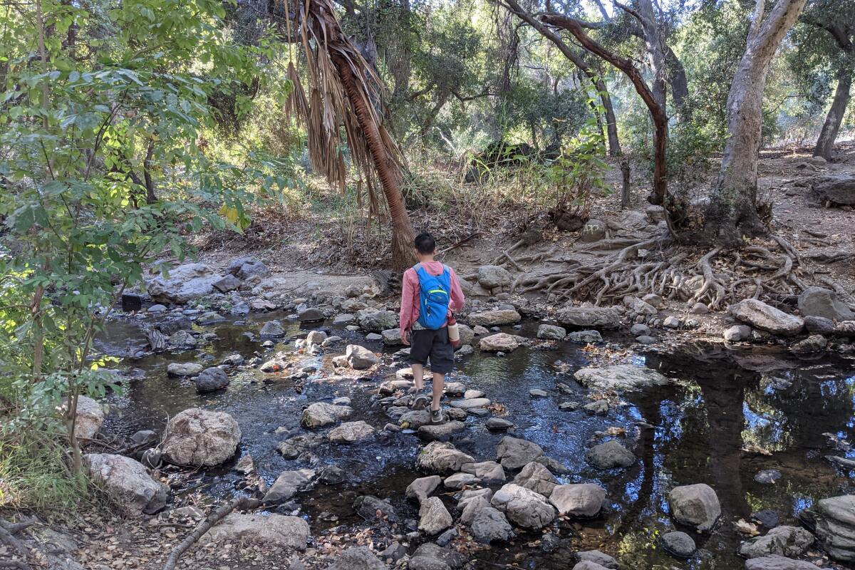
Throughout your peaceful trek, you will be paralleling the babbling waters of Walnut Creek and so you will encounter multiple stream crossings. Among the riparian environment, many types of flora will be present, such as the giant green leaves of palms and ferns, but you will also have good opportunities for meeting some resident wildlife visiting the creek. Look for herons and egrets who love to hunt along the shore during sunrise and sunset.
You’ll also pass a campground, multiple trail entry points and the entrance to a local Buddhist temple, the Tzu Chi Foundation, which welcomes visitors. The trail ends at a connection with Oak Canyon Road, or you can head back the way you came at any point.
Park at the free lot along San Dimas Avenue. Dog friendly.
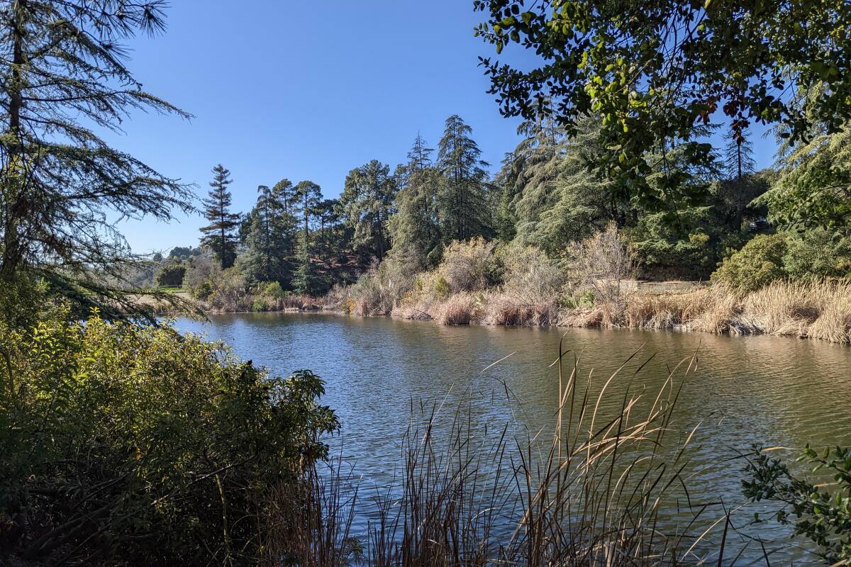
Franklin Canyon Park
Head to the Upper Franklin Canyon Reservoir to start your serene loop. The path winds under sycamores, pines, palms, oaks and even redwoods as it flanks the peaceful reservoir, which often has resident ducks, coots and other waterfowl floating across the gentle water. After crossing a footbridge, you’ll reach the southern end of the reservoir — a lovely place to picnic.
After reaching a parking lot at Franklin Canyon Drive (the southern tip of your loop), find a concrete trail heading north across the road. This less-visited segment meanders along the canyon walls amid chaparral classics, including a dense collection of rosemary bushes. Scan the trailside for the gorgeous purple blooms of bigleaf periwinkle and the unique hanging red flowers of fuchsia gooseberries. The vistas of this secluded canyon are great throughout this portion of the hike, and you can even spot the small Turtle Pond below, in addition to the namesake reservoir.
Park at the free lot next to the Sooky Goldman Nature Center, which has some exhibits and a charming amphitheater. Dog friendly.
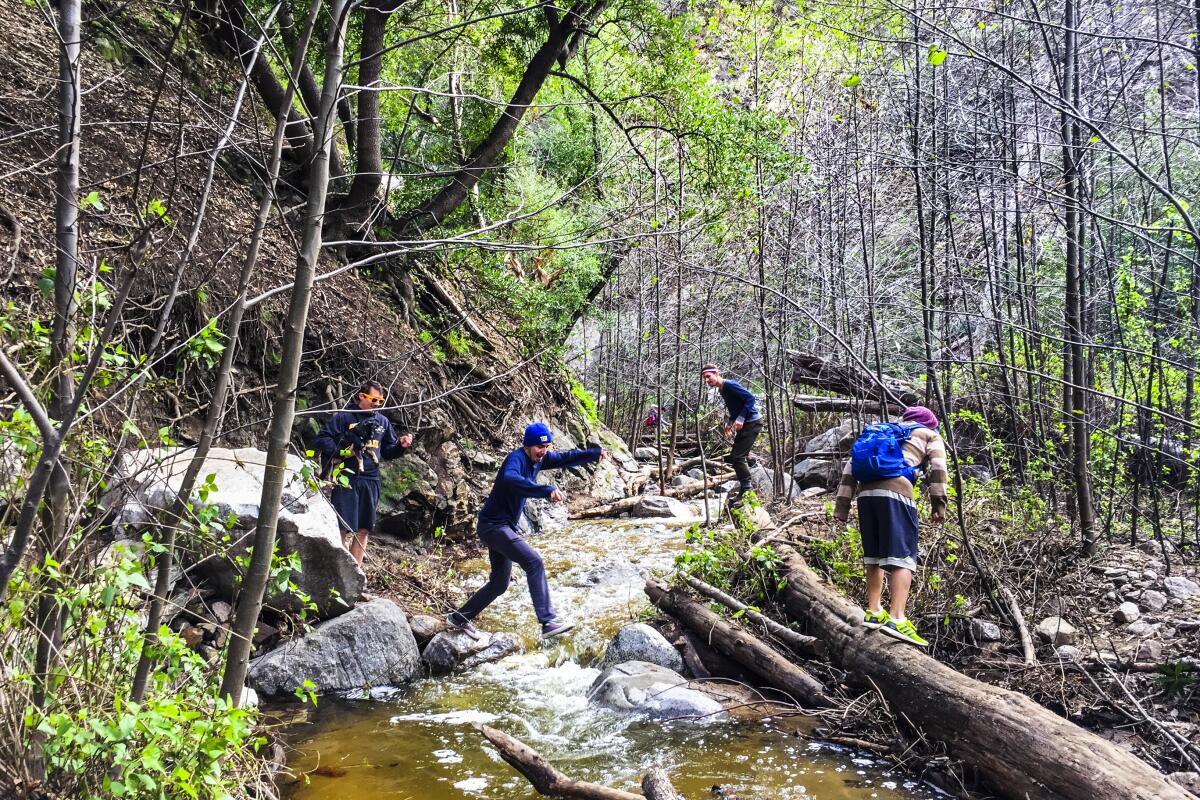
Millard Canyon
Your stunning canyon adventure begins near a charming six-site campground, with towering ancient live oaks and a flowing stream that parallels the trail. You will enjoy plenty of stream-hopping opportunities across boulders and logs — I recommend taking a dip in the rock pool under the roaring falls after your picturesque, shaded ravine exploration. Tip: You can extend your trip with a 5-mile loop along the Sunset Ridge Trail to the historic ruins of Dawn Mine, if you’re up for the 1,500 feet of elevation gain.
Find street parking along Chaney Trail. Dog friendly.
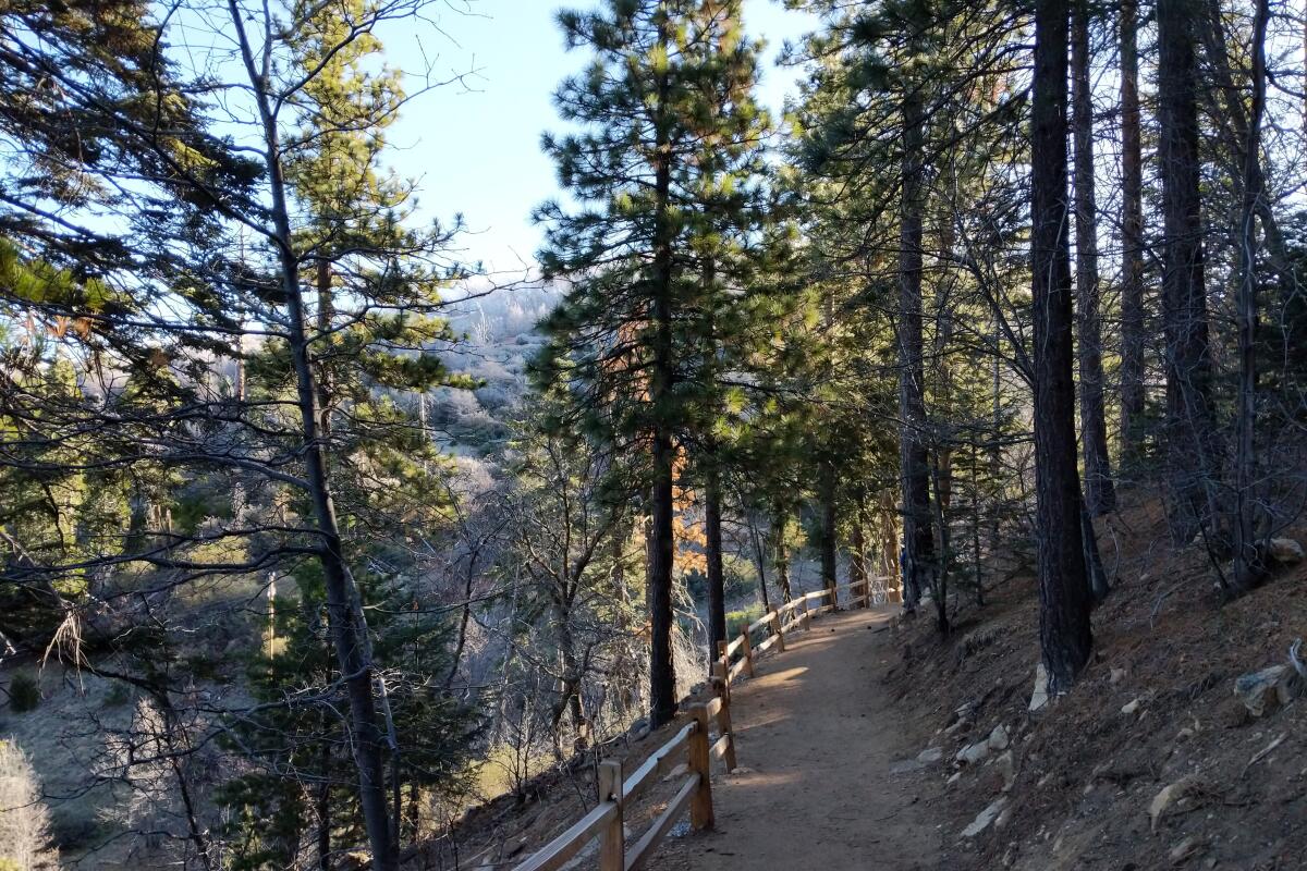
Heaps Peak Arboretum
Sitting at over 6,000 feet elevation in the San Bernardino National Forest, the arboretum is also home to impressive specimens of incense cedar, black oak, white fir and sugar pine. On the Sequoia Trail, which leads you through those arboreal wonders, you’ll find a charming footbridge over a creek and plenty of shade. Yet the showstoppers are the sequoias, planted in the 1930s and found in the Ann Henck Stewart Memorial Sequoia Grove. Though these sequoias are smaller than their Northern California counterparts like the General Sherman in Sequoia National Park, you’ll still want to stop and bask in their glory.
Park in the paved lot (Adventure Pass required). Dog friendly.
Sign up for The Wild
We’ll help you find the best places to hike, bike and run, as well as the perfect silent spots for meditation and yoga.
You may occasionally receive promotional content from the Los Angeles Times.


