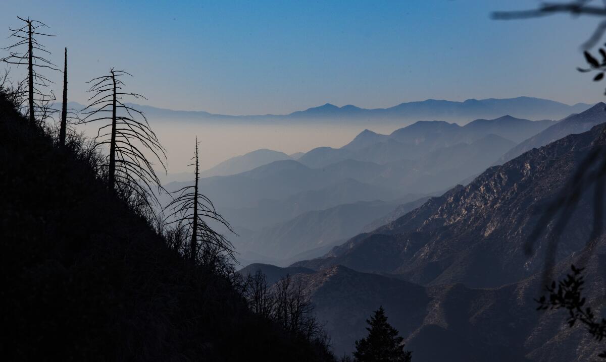
These enchanting L.A. hikes take you above the ‘June gloom’ fog
- Share via
June gloom — also known as May gray, no-sky July and Fogust, depending on the month you’re in — describes the reliable occurrence of thick, low, marine-layer stratus clouds that hover over coastal Southern California in the late spring and early summer. The phenomenon sometimes gets groans from Angelenos who weren’t planning to pack a sweater in their beach bag, but it plays an important environmental role. Without it, temperatures might soar dangerously high (and that may be happening already).
For hikers, June gloom offers an added bonus: With the right combination of timing, landscape and luck, that featureless layer of gray can provide some of the most dramatic scenery L.A.’s trails have to offer. The secret is to get above it. Here are six trails that help you do just that.
Planning your weekend?
Stay up to date on the best things to do, see and eat in L.A.
Tip: Keep a close eye on local forecasts and be sure to start your hike early — most of the time, the cloud layer burns off before the afternoon.
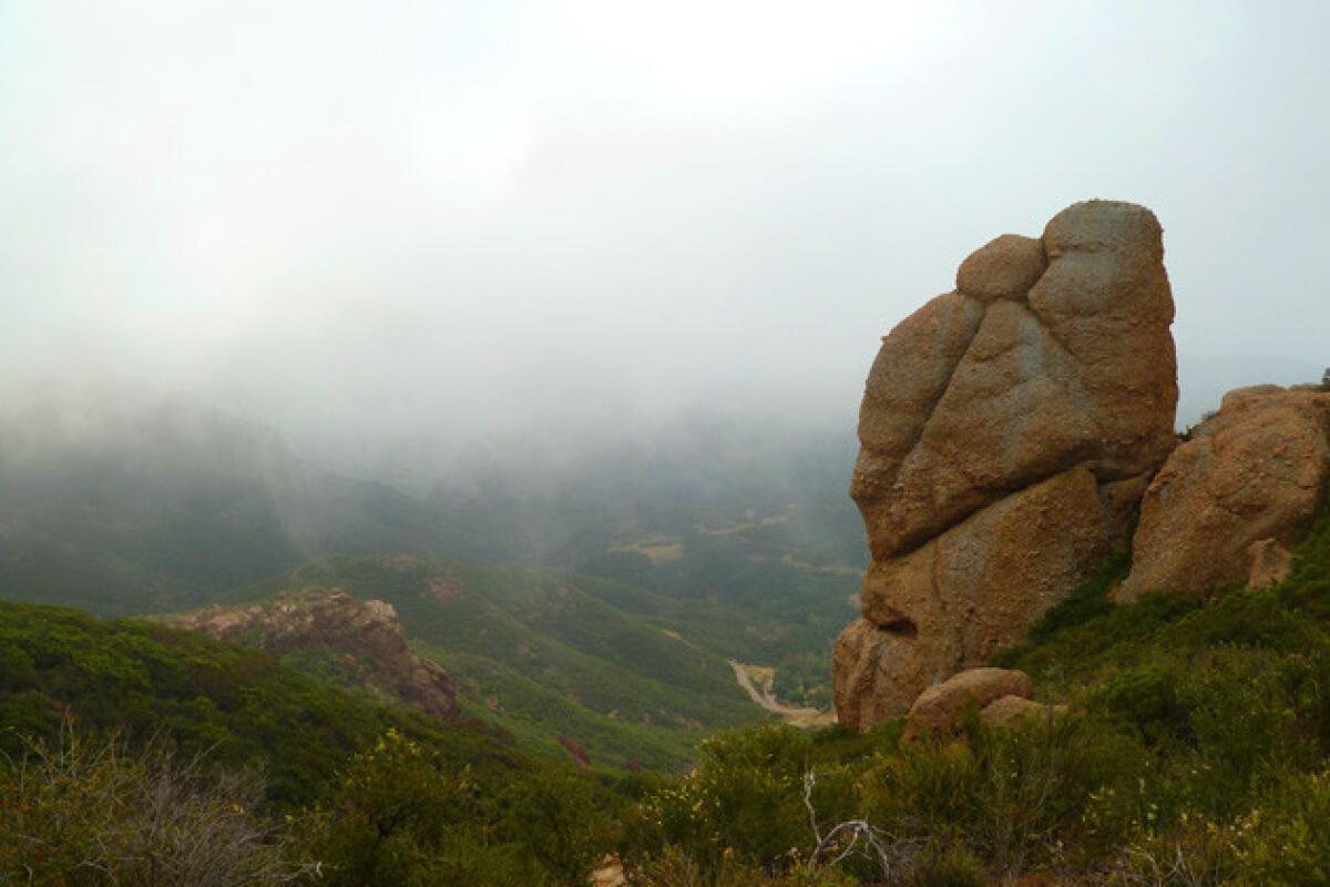
Sandstone Peak, Santa Monica Mountains
From here, you may see the clouds forming airborne rivers as they snake through the winding canyons of the Santa Monicas. Although you can make a beeline from the trailhead to the summit, I recommend taking the longer 6.1-mile loop counterclockwise on the Mishe Mokwa Trail — it’s one of my favorites.
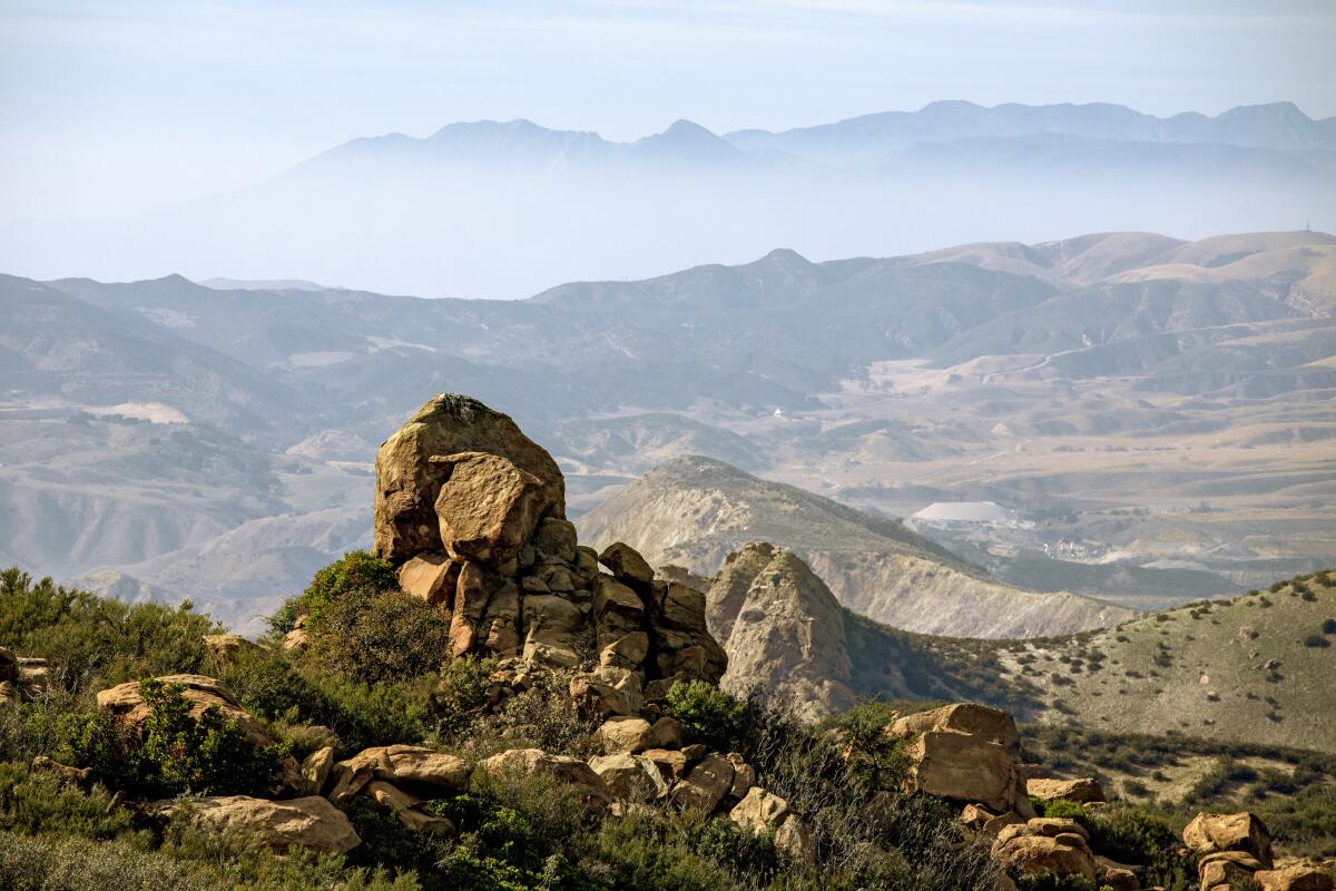
Rocky Peak, Santa Susana Mountains
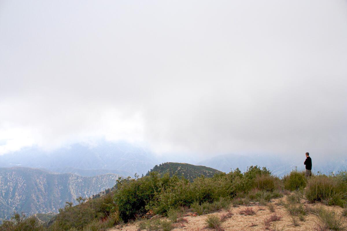
Smith Mountain, San Gabriel Canyon
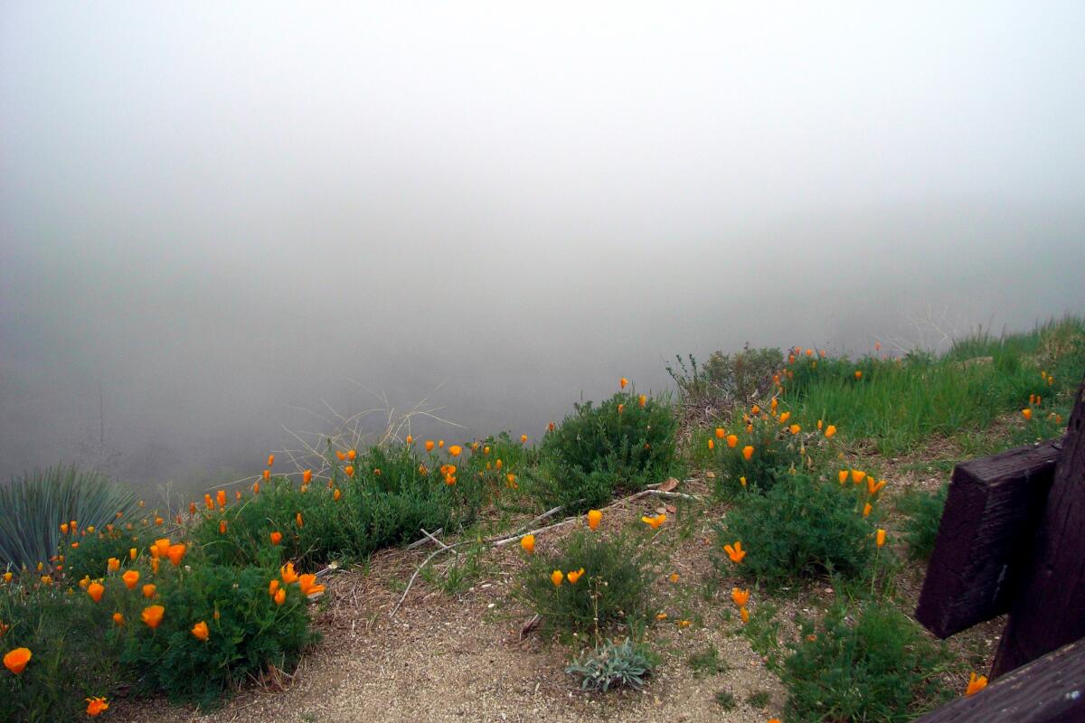
Vetter Mountain, San Gabriel Mountains
This is an easy three-ish-mile hike on a paved road from the Charlton Flat day use site’s locked gate, or a shorter trek on trail from deeper inside the picnic area near the Silver Moccasin Trail. An Adventure Pass is required for both. Head to anffla.org for more info on the fire lookouts and to learn how to become a volunteer yourself.
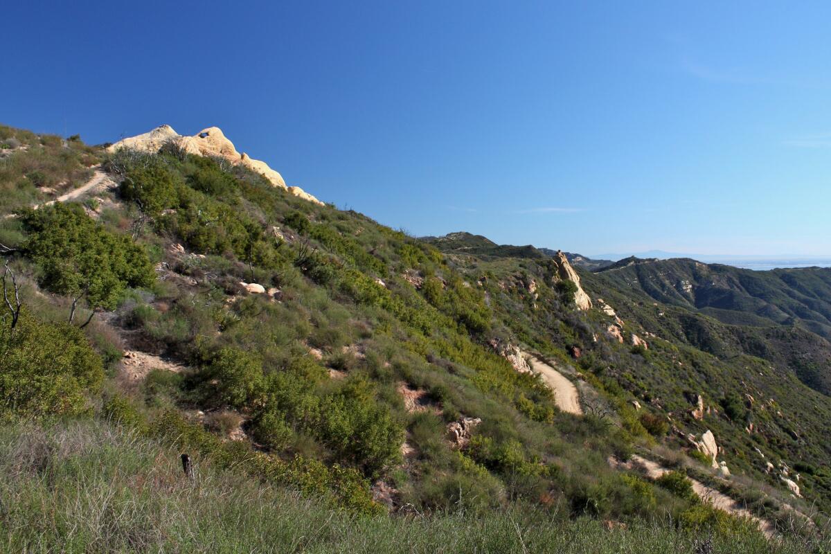
Castro Crest, Santa Monica Mountains
This hike can be an easy stroll along the mostly level Backbone and Mesa Peak trails or you can head down into the lower elevations in the state park via the Castro and Bulldog motorways. No dogs allowed.
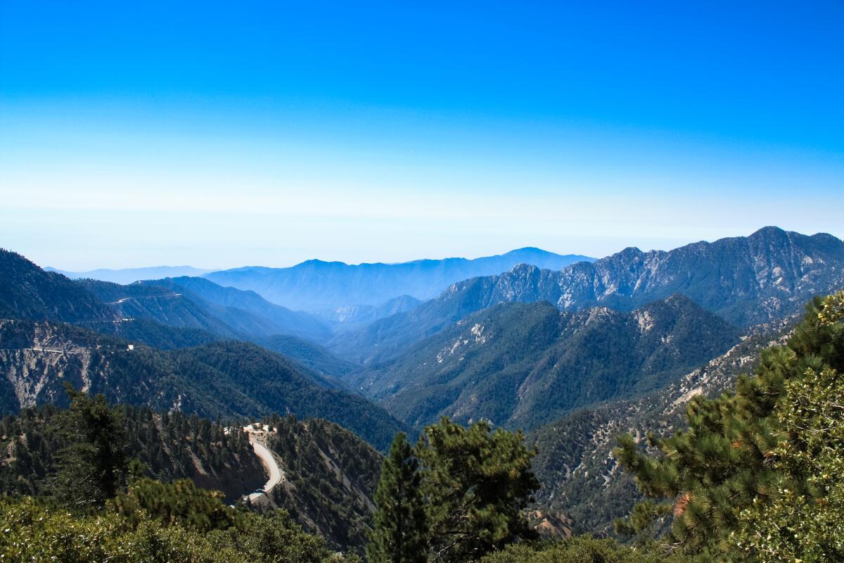
Mt. Williamson, San Gabriel Mountains
Most sites past Red Box on the Angeles Crest Highway should be clear, but since you already drove that far, why not trek out to Islip Saddle to put your boots on the Pacific Crest Trail to Mt. Williamson? This 8,214-foot-tall peak has a commanding view of the Antelope Valley to the north and arguably the best view of San Gabriel Canyon to the south — and it tends to avoid the crowds of nearby peaks like Baden-Powell and Waterman. It’s a tough but quick five-mile out-and-back to the top of Williamson. Be sure to cut yourself some slack due to the high elevation. Adventure Pass required.
Sign up for The Wild
We’ll help you find the best places to hike, bike and run, as well as the perfect silent spots for meditation and yoga.
You may occasionally receive promotional content from the Los Angeles Times.


