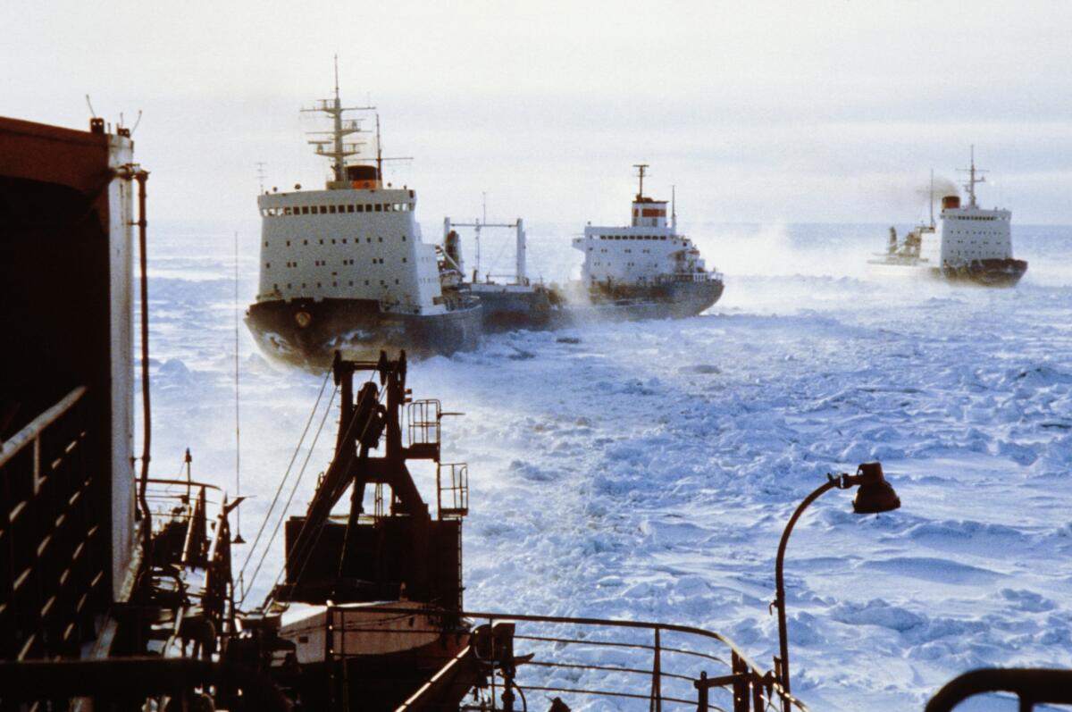
Canada on mission to map Arctic, lay claim to broader boundaries

- Share via
Canada has dispatched two icebreakers to map the Arctic seabed beneath the North Pole to support a bid to extend the country’s maritime territory deeper into the waterways at the top of the world.
A preliminary submission to the United Nations Commission on the Limits of the Continental Shelf in December laid claim to about 460,000 square miles of undersea territory in the far north. Canada’s claim is likely to be challenged by Russia and Denmark, though. Both have asserted sovereignty over Arctic passages and the suspected oil and mineral wealth beneath.
Canadian Coast Guard icebreakers Terry Fox and Louis S. St. Laurent set out from Newfoundland on Friday and Saturday, respectively, on a six-week mission to map an undersea feature called the Lomonosov Ridge that extends from Ellesmere Island to the North Pole, a statement from the Ministry for Foreign Affairs, Trade and Development said.
“As demonstrated by these planned surveys, our government is committing the resources necessary to ensure that Canada secures international recognition of the full extent of its continental shelf, including the North Pole,” said Foreign Minister John Baird.
Environment Minister Leona Aglukkaq described the exploration as a move toward “securing our sovereignty while expanding our economic and scientific opportunities by defining Canada’s last frontier.”
As Arctic ice melts and the waters between the polar ice cap and Northern Hemisphere landmasses become navigable for longer periods each year, countries bordering the Arctic Circle are trying harder to secure a share of coastal waters and harvest their resources.
Russia and Denmark also contend that the Lomonosov Ridge is an extension of their northern landmasses and that the resources belong to them. About 13% of the world’s untapped oil deposits and 30% of natural gas are estimated to reside under the newly accessible northern reaches.
Rob Huebert, a professor at the University of Calgary’s Center for Military and Strategic Studies, told the Globe and Mail newspaper that the overlapping national claims will probably be settled through negotiation. He noted, however, that deteriorating relations between Russia and the West could complicate resolution of Moscow’s claim on the Arctic resources.
Canada became party to the U.N. Convention on the Law of the Sea on Dec. 7, 2003, and must submit preliminary information backing continental shelf expansion within a decade. Ottawa’s claim was filed a day before the deadline.
A second Canadian mapping mission is set for next year, the government noted.
Follow @cjwilliamslat for the latest international news 24/7
More to Read
Sign up for Essential California
The most important California stories and recommendations in your inbox every morning.
You may occasionally receive promotional content from the Los Angeles Times.


